
Top fish species at Matapeake Fishing Pier


Check which species have trophy potential in Matapeake Fishing Pier
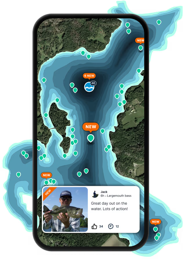
Matapeake Fishing Pier fishing reports
length · weight

Continue browsing catches and catch locations in the Fishbrain app
When are Striped Bass biting on Matapeake Fishing Pier?
Learn what time of year and day to go fishing at Matapeake Fishing Pier. Download Fishbrain today to look for new fishing spots, scout new fishing access, or prep for your next trip.

Fishing regulations at Matapeake Fishing Pier, MD
Disclaimer: Always check local fishing regulations, water access rights and land ownership before fishing, regardless of any catches logged in that area by the Fishbrain community. Fishbrain has mapped millions of acres of government-owned land across the USA to help you identify potential fishing access, but you are responsible for ensuring compliance with all legal requirements.
Fishing regulations in Maryland can change throughout the year. Make sure to check this page before fishing for the most up to date rules and regulations for the current season. Local regulations govern when you can fish, the max size of the fish you can keep, how many fish you can keep, and more.
Below you will see fishing regulations for catching Striped bass as of April 1st, 2026. To view regulations for a different fish species, please click on your preferred species in the drop-down.
Seasons
IMPORTANT!: YOU MUST SEE Maryland Striped Bass Map for the Chesapeake Bay and its tidal tributaries, including the Maryland tributaries of the Potomac River.
Effective 12:01 a.m. January 17, 2025, the minimum size for striped bass is 19 inches and the maximum size for striped bass is 24 inches. This rule is effective for the 2025 striped bass summer and fall season, which runs from May 16, 2025, through July 15, 2025, and August 1, 2025, through December 10, 2025.
For the Atlantic Ocean, its coastal bays and their tributaries:
Effective 12:01 a.m. January 17, 2025: Anglers may keep one striped bass per person per day from the Atlantic Ocean, its coastal bays, and their tributaries. The minimum size for striped bass is 28 inches.The maximum size is 31 inches.
You must use an inline circle hook while using bait to fish for striped bass. For more information, see Striped Bass and Circle Hooks
Striped bass may not be caught, harassed or possessed in the Exclusive Economic Zone (EEZ), which stretches from 3 to 200 miles off the coast.
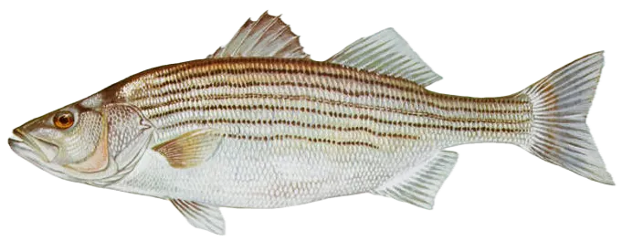
Morone saxatilis
Regulations for

FAQ about Matapeake Fishing Pier fishing
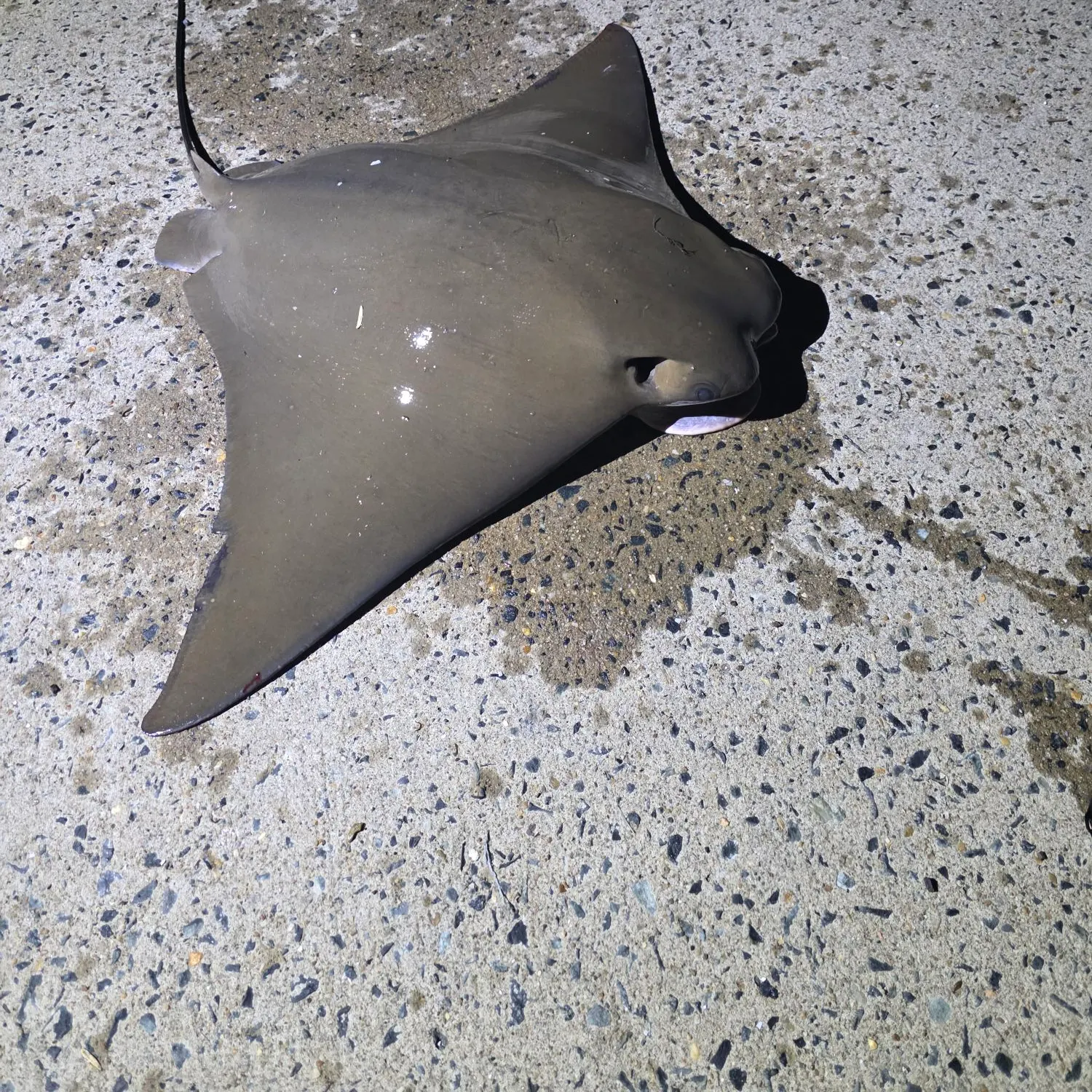
- Striped bass - 65 members reported to have caught this fish
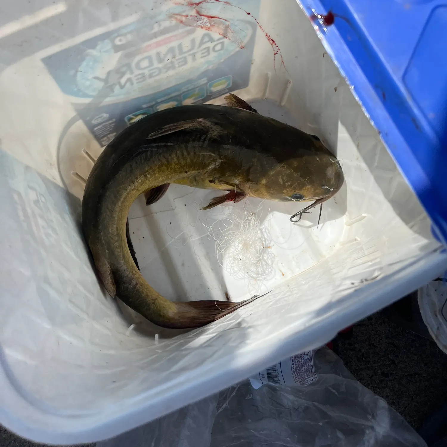
- Channel catfish - 31 members reported to have caught this fish
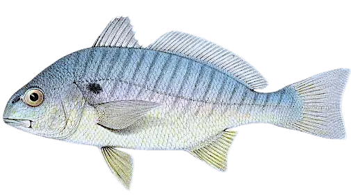
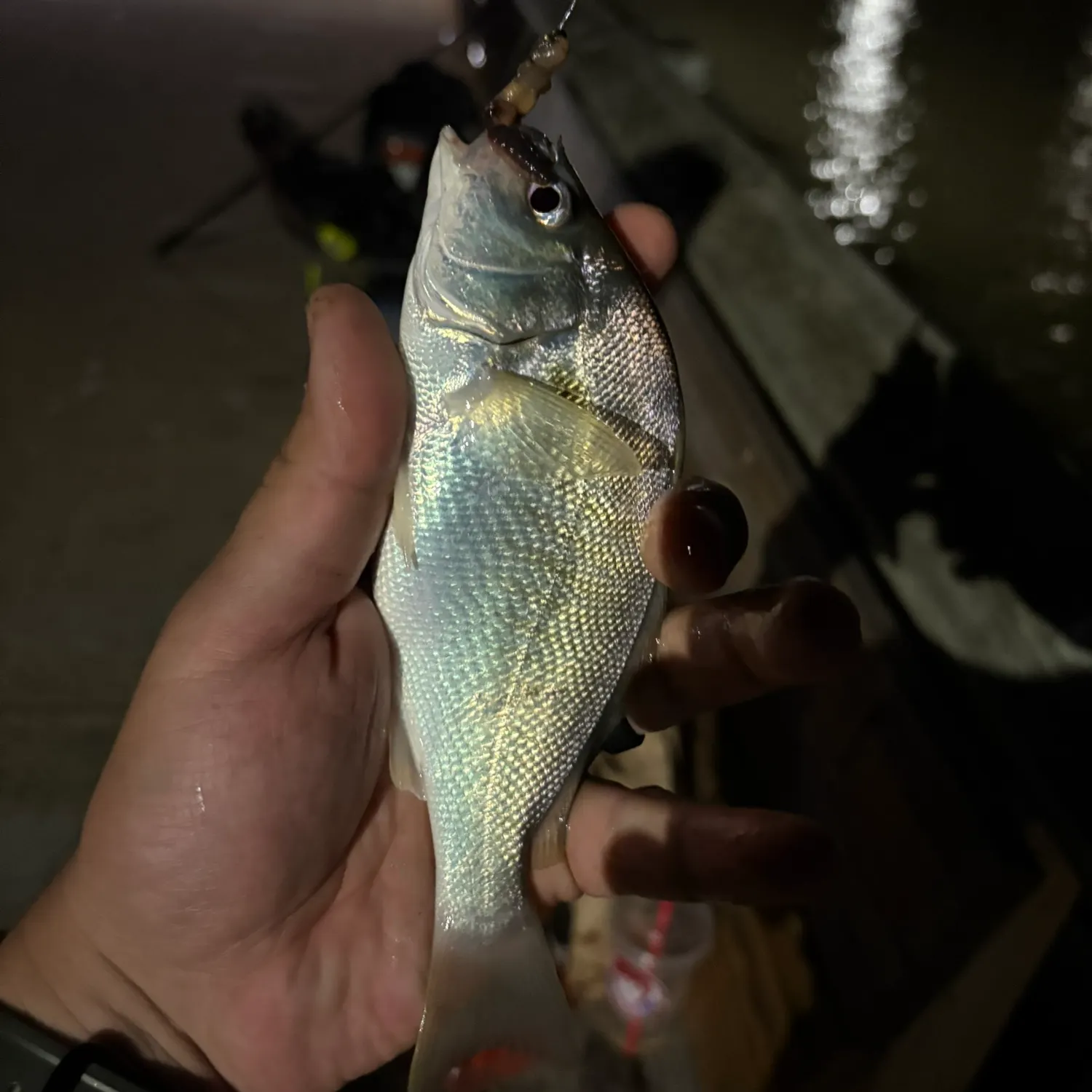
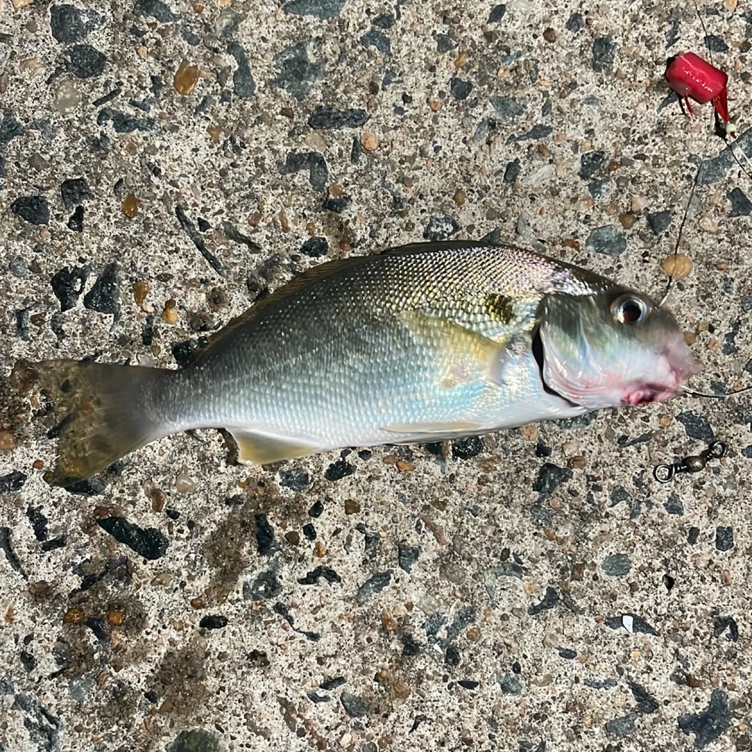
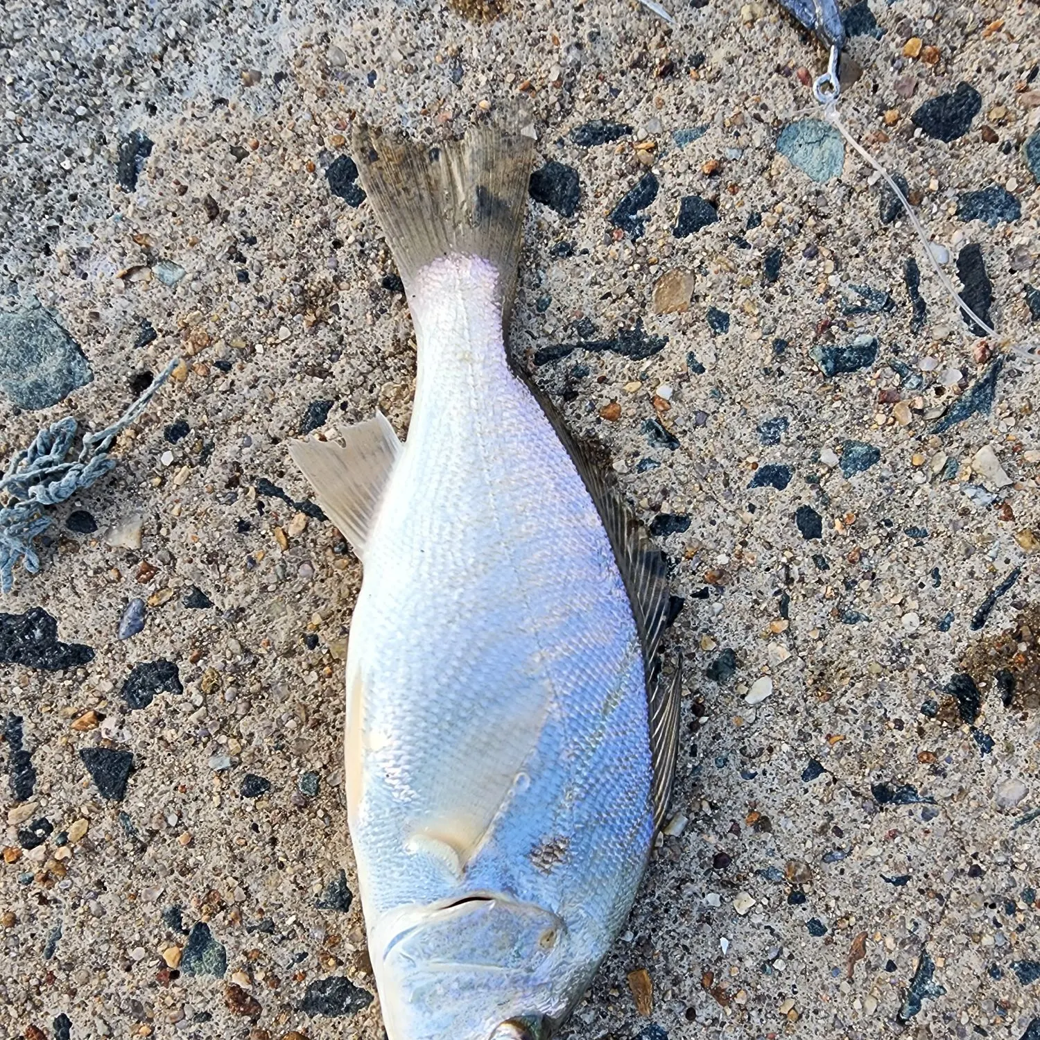
- Spot croaker - 18 members reported to have caught this fish
- @RRNVA reported a nice Spot croaker.
- @Top74 reported a nice Spot croaker.
- @victor.zirkelbach reported a nice Spot croaker.
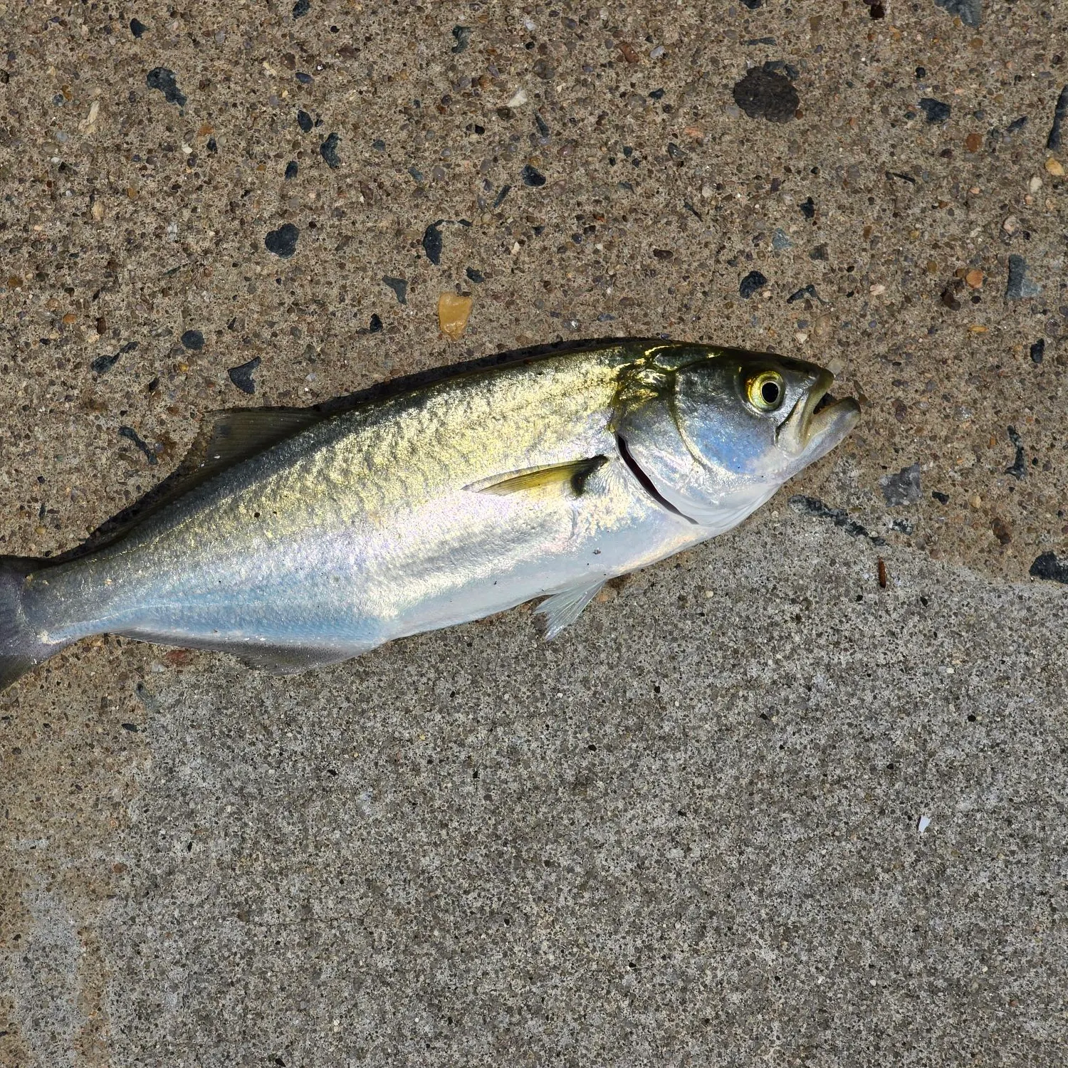
- @lyle.sutton reported a nice Bluefish.
Free trial available