
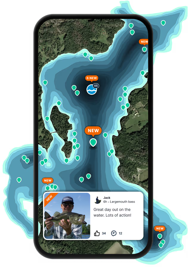
Logged catches
Top fish species at Luakeananolo Bay

Check which species have trophy potential in Luakeananolo Bay
Luakeananolo Bay fishing reports

Continue browsing catches and catch locations in the Fishbrain app
Fishing regulations at Luakeananolo Bay, HI
Disclaimer: Always check local fishing regulations, water access rights and land ownership before fishing, regardless of any catches logged in that area by the Fishbrain community. Fishbrain has mapped millions of acres of government-owned land across the USA to help you identify potential fishing access, but you are responsible for ensuring compliance with all legal requirements.
Fishing regulations in Hawaii can change throughout the year. Make sure to check this page before fishing for the most up to date rules and regulations for the current season. Local regulations govern when you can fish, the max size of the fish you can keep, how many fish you can keep, and more.
Below you will see fishing regulations for catching Bluefin trevally as of April 1st, 2026. To view regulations for a different fish species, please click on your preferred species in the drop-down.
Seasons
Bag limit
Min size
Measurement
Aggregate
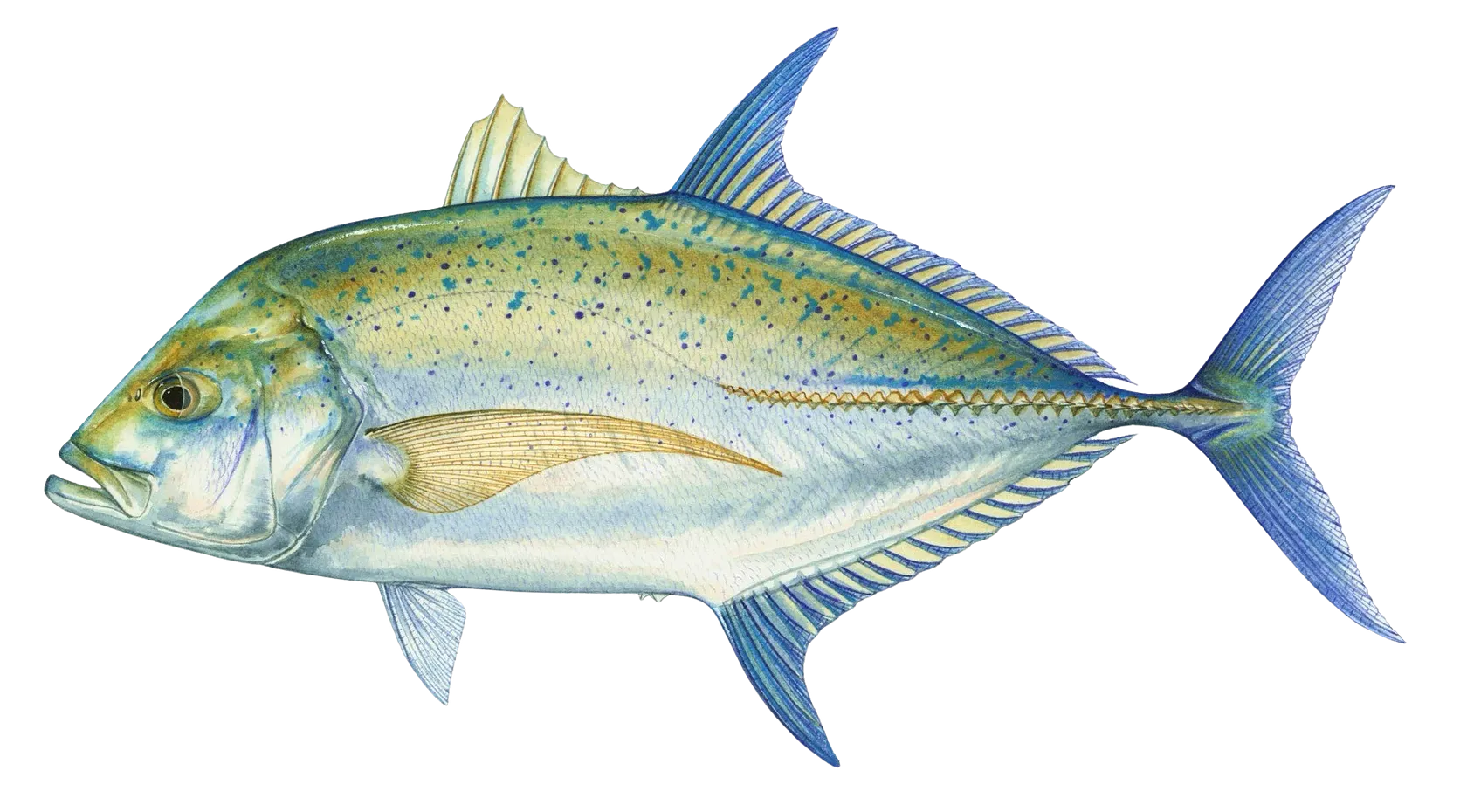
Caranx melampygus, bluefin trevally, omilu, papio, pāpio, ulua, ‘ōmilu
Regulations for

FAQ about Luakeananolo Bay fishing
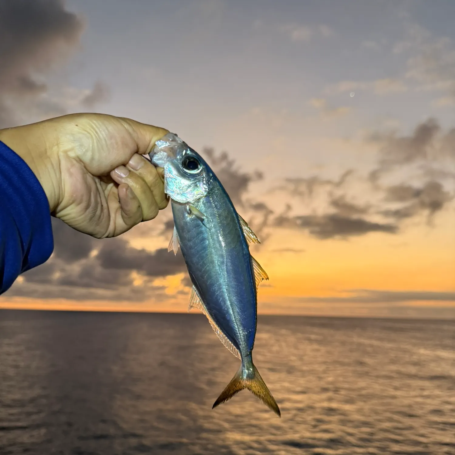
- Bluefin trevally - 4 members reported to have caught this fish
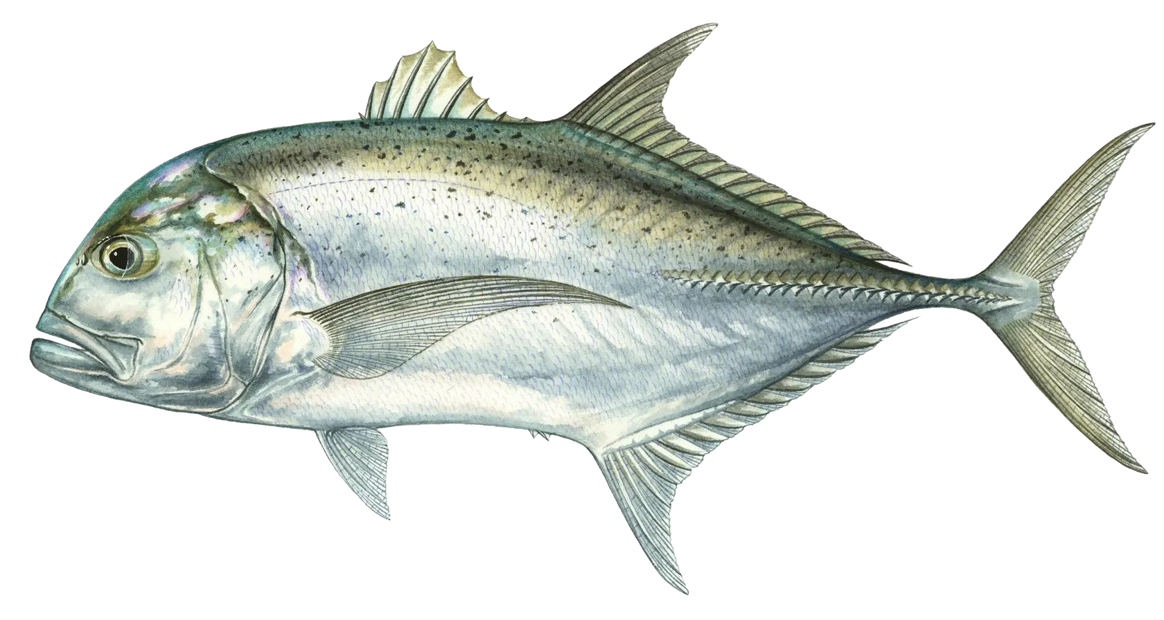
- Giant trevally - 2 members reported to have caught this fish
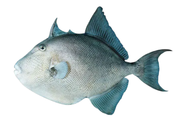
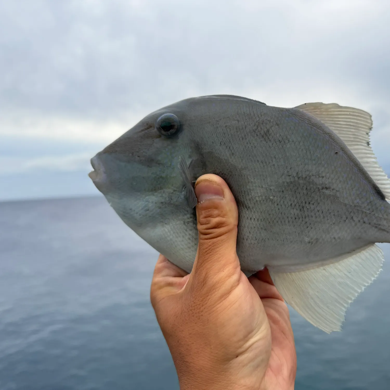
- Finescale triggerfish - 1 members reported to have caught this fish
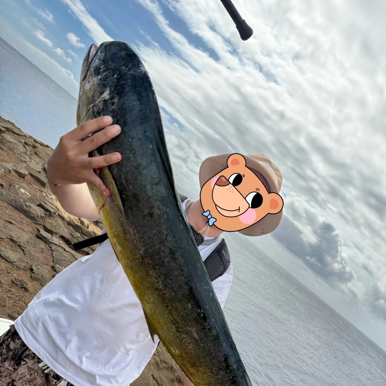
- @TeddyZZZ reported a nice Common dolphinfish.
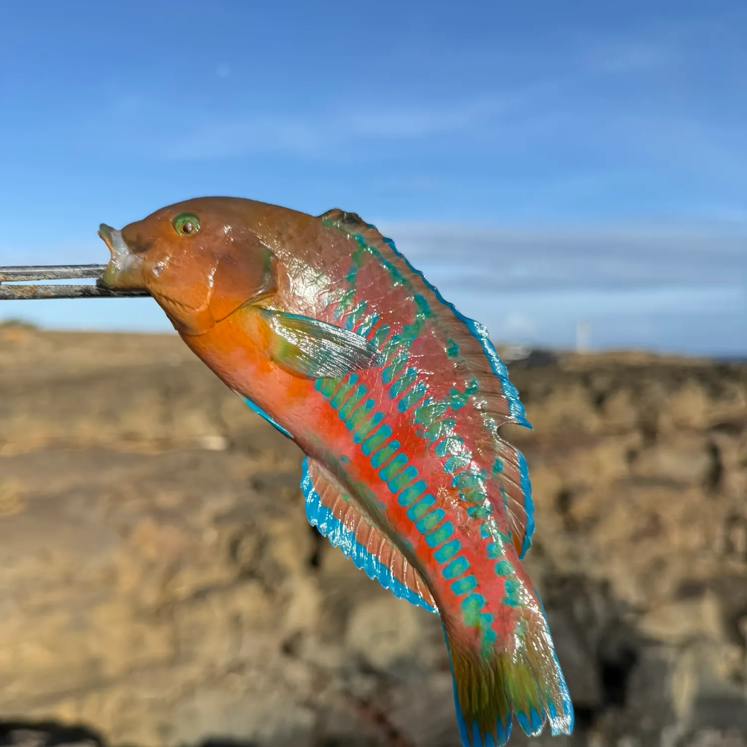
- @mazeFishing reported a nice Christmas wrasse.
- @mazeFishing reported a nice Finescale triggerfish.
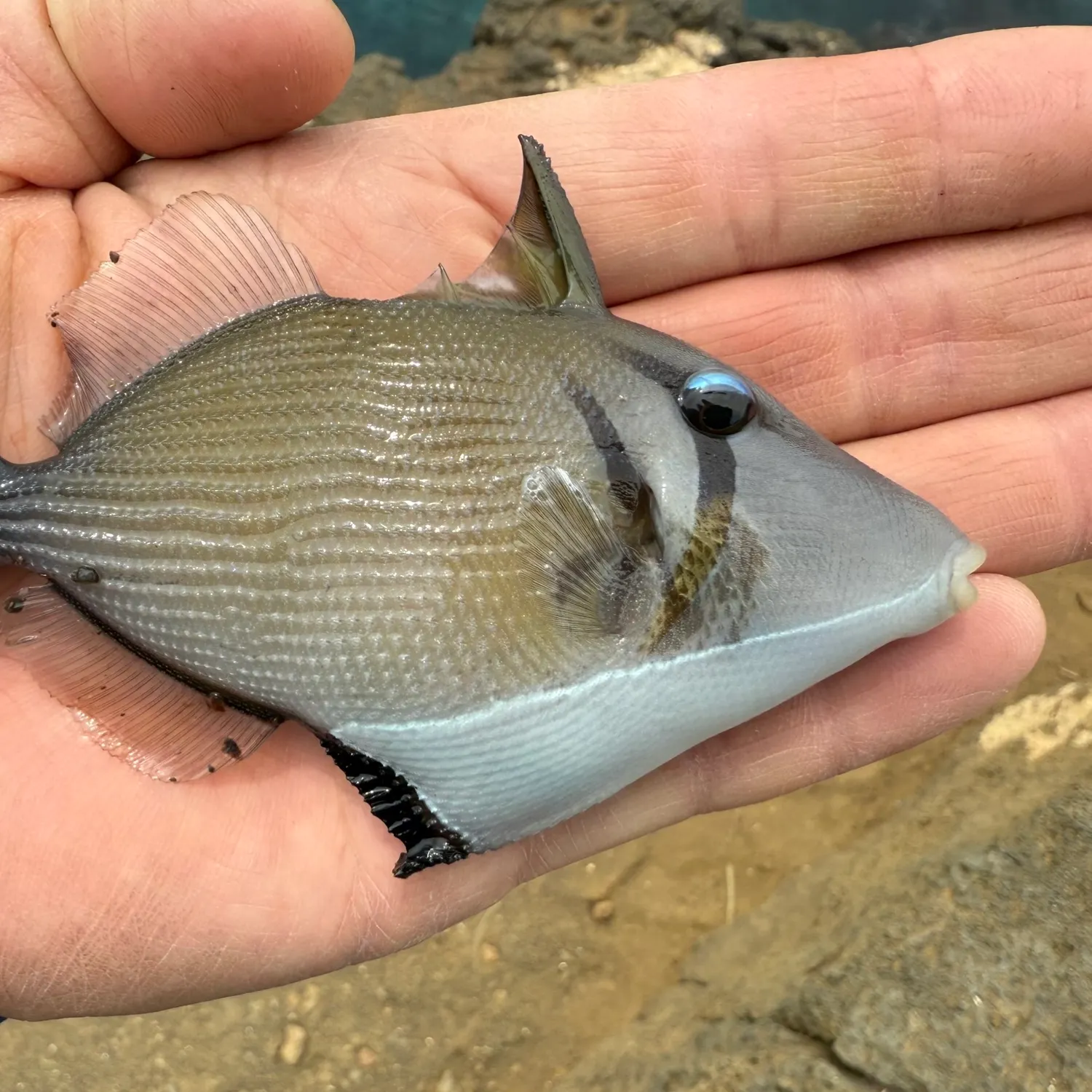
- @mazeFishing reported a nice Boomerang triggerfish.
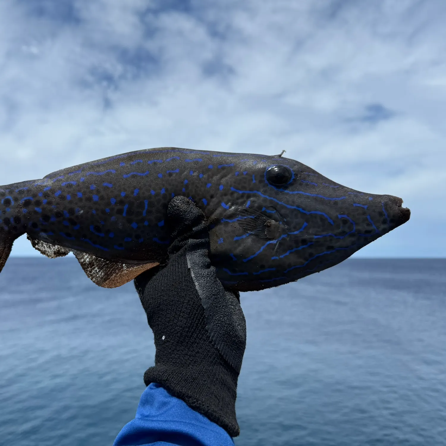
- @mazeFishing reported a nice Scrawled filefish.
Free trial available