
Top fish species at Crawford Branch


Check which species have trophy potential in Crawford Branch
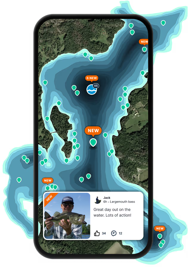
Crawford Branch fishing reports

Continue browsing catches and catch locations in the Fishbrain app
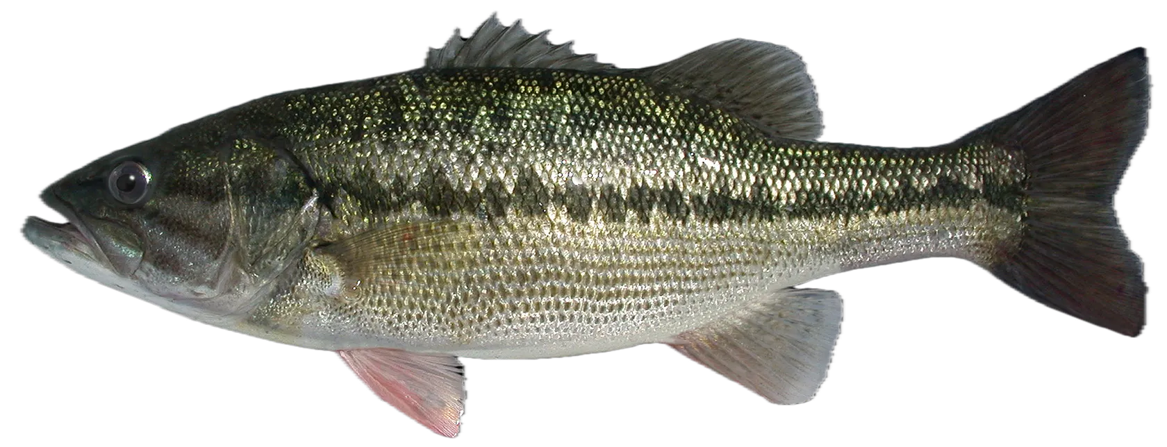
When are Largemouth Bass biting on Crawford Branch?
Learn what time of year and day to go fishing at Crawford Branch. Download Fishbrain today to look for new fishing spots, scout new fishing access, or prep for your next trip.

Fishing regulations at Crawford Branch, MS
Disclaimer: Always check local fishing regulations, water access rights and land ownership before fishing, regardless of any catches logged in that area by the Fishbrain community. Fishbrain has mapped millions of acres of government-owned land across the USA to help you identify potential fishing access, but you are responsible for ensuring compliance with all legal requirements.
Fishing regulations in Mississippi can change throughout the year. Make sure to check this page before fishing for the most up to date rules and regulations for the current season. Local regulations govern when you can fish, the max size of the fish you can keep, how many fish you can keep, and more.
Below you will see fishing regulations for catching Largemouth bass as of April 1st, 2026. To view regulations for a different fish species, please click on your preferred species in the drop-down.
Seasons
Bag limit
Aggregate
Slot Length Limit: all fish on or between the slot length must be returned to the water immediately upon capture and may not be in possession on the designated waters. All fish shorter than the lowest length limit and all fish longer than the highest length limit may be kept not to exceed the legal daily creel limit.
The following waterbodies have modified size and creel limits for black bass (i.e., largemouth, spotted, and smallmouth bass):
Aberdeen Lake; Monroe County: 14-inch minimum size; creel limit = 10 black bass;
Charlie Capps WMA Lake; Bolivar County: no minimum size; creel limit = 5 black bass;
Columbus Lake; Lowndes, Monroe, and Clay Counties: 14-inch minimum size; creel limit = 10 black bass;
Choctaw Lake; Choctaw County: slot length 16 to 20-inches; creel limit = 10 black bass (1 over 20-inches);
Davis Lake; Chickasaw County: slot length 18 to 22-inches; creel limit = 10 black bass (1 over 22-inches);
Eagle Lake; Warren County; 16-inch minimum size; creel limit = 10 black bass;
Lake Bill Waller; Marion County: slot length 18 to 22-inches; creel limit = 15 black bass (1 over 22-inches);
Lake Bogue Homa; Jones County: 15-inch minimum size; creel limit = 5 black bass;
Lake Calling Panther; Copiah County: 20-inch maximum size; creel limit = 10 black bass;
Lake Claude Bennett; Jasper County: no minimum size; creel limit = 30 black bass;
Lake Jackson; Washington County: no minimum size; creel limit = 5 black bass;
Lake Jeff Davis; Jeff Davis County: slot length 18 to 24-inches; creel limit = 15 black bass (1 over 24-inches);
Lake Lamar Bruce; Lee County: slot length 18 to 24-inches; creel limit = 10 black bass (1 over 24-inches);
Lake Mary Crawford; Lawrence County: slot length 16 to 22-inches; creel limit = 10 black bass (1 over 22-inches);
Lake Monroe; Monroe County: slot length 18 to 24-inches; creel limit = 10 black bass (1 over 24-inches);
Lake Okhissa; Franklin County: slot length 18 to 22-inches; creel limit = 10 black bass (1 over 22-inches);
Lake Washington; Washington County: 15-inch minimum size; creel limit = 5 black bass;
Leroy Percy State Park; Washington County: no minimum size; creel limit = 5 black bass;
Malmaisson WMA Lakes; Grenada County: 15-inch minimum size; creel limit = 2 black bass;
Moon Lake; Coahoma County: no minimum size; creel limit = 5 black bass;
Natchez State Park; Adams County: slot length 18 to 22-inches; creel limit = 7 black bass (1 over 22-inches);
Neshoba County Lake; Neshoba County: slot length 16 to 20-inches; creel limit = 10 black bass (1 over 20-inches);
North Abutment Campground Lake at Grenada; Grenada County: 15-inch minimum size; creel limit = 2 black bass;
Pascagoula River; George and Jackson Counties: 12-inch minimum size; creel limit = 10 black bass;
Paul B. Johnson State Park; Forrest County: slot length 18 to 22-inches; creel limit = 10 black bass (1 over 22-inches);
Percy Quin State Park; Pike County: slot length 16 to 22-inches; creel limit = 7 black bass (1 over 22-inches);
Pickwick Lake; Tishomingo County: 15-inch minimum size; creel limit = 10 black bass;
RecCon Lake; Bolivar County: no minimum size; creel limit = 2 black bass;
Ross Barnett Reservoir; Madison, Rankin, Leake, Hinds, and Scott Counties: 14-inch maximum size; creel limit = 7 black bass;
Trace State Park; Lee County: slot length 14 to 22-inches; creel limit = 10 black bass (1 over 22-inches);
Wolf/Broad Lake; Yazoo and Humphreys Counties: 12-inch maximum size; creel limit = 5 black bass.
Creel limits for black bass, bream, crappie, striped bass, and striped bass hybrids in waters touched by the state boundary (border waters) shall be that of the adjacent state, or the Mississippi limit, whichever is greater.
Micropterus nigricans
Regulations for

FAQ about Crawford Branch fishing
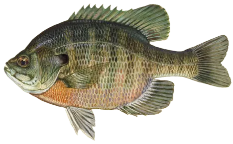
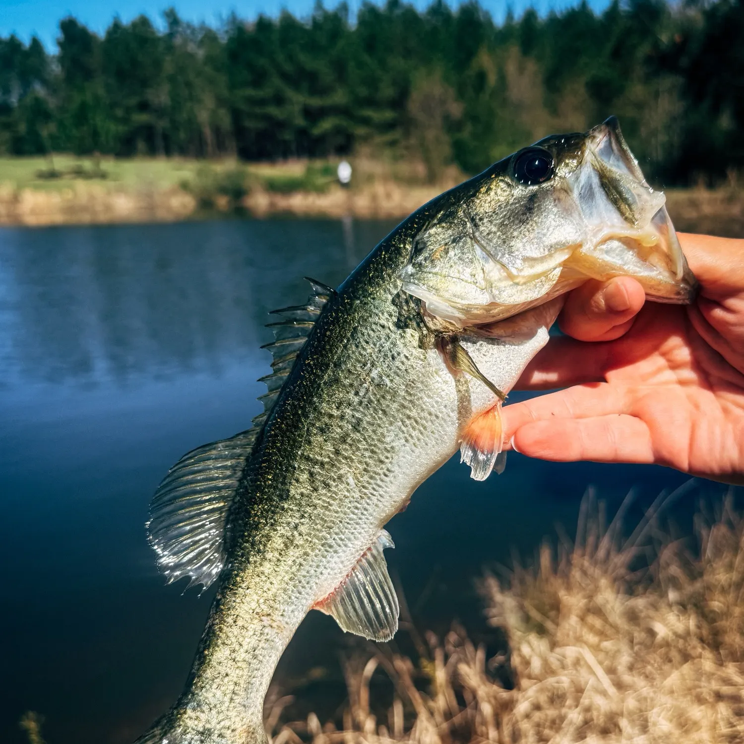
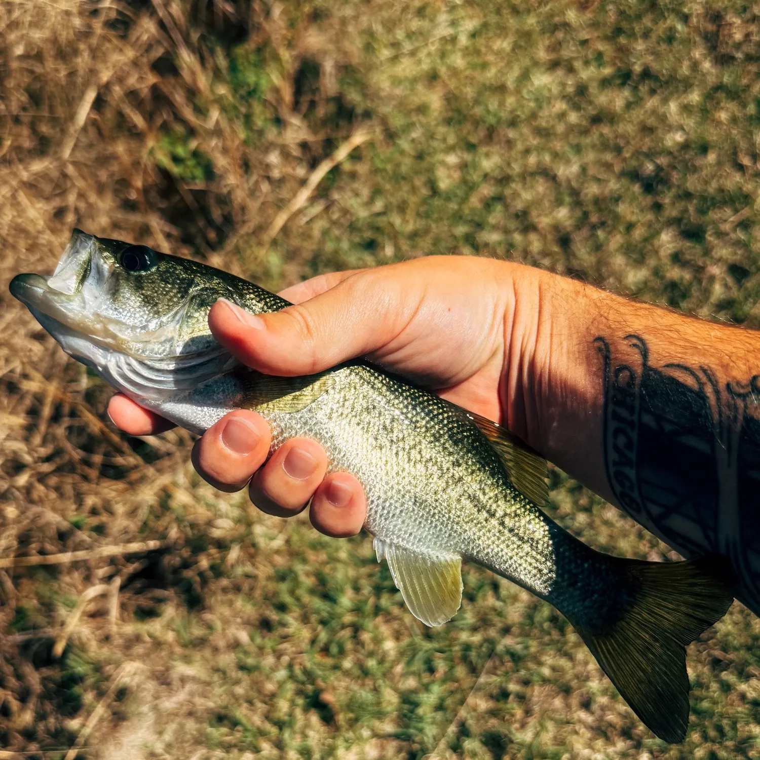
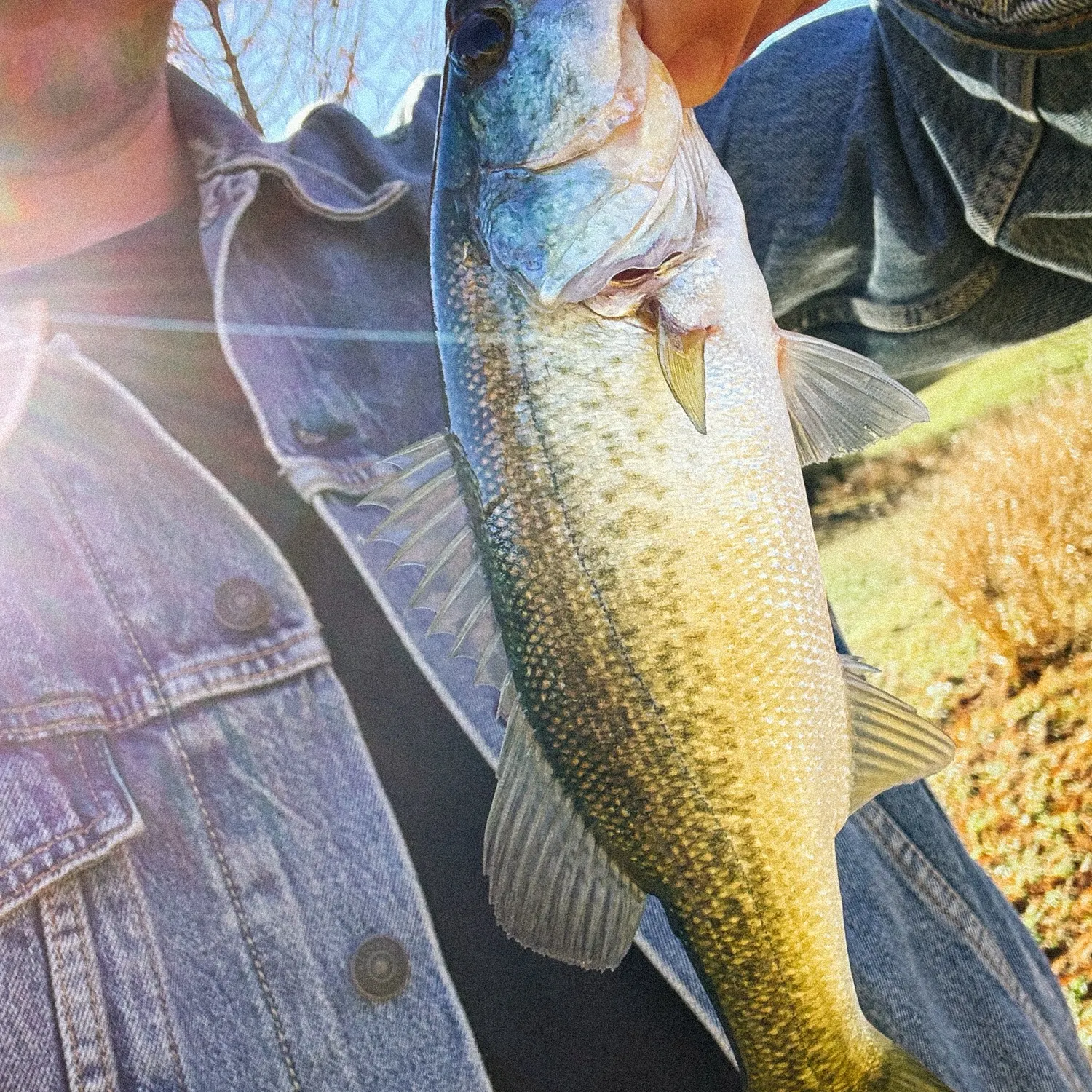
- Largemouth bass - 1 members reported to have caught this fish
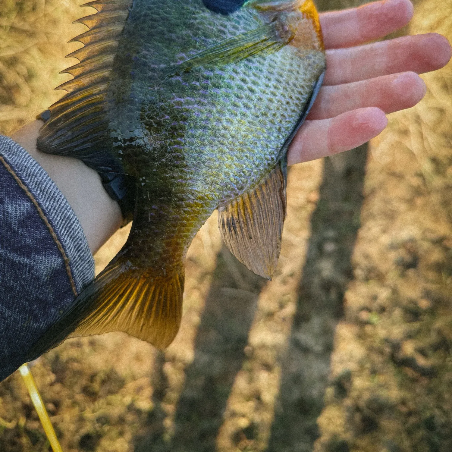
- Bluegill - 1 members reported to have caught this fish
- Spotted bass - 1 members reported to have caught this fish
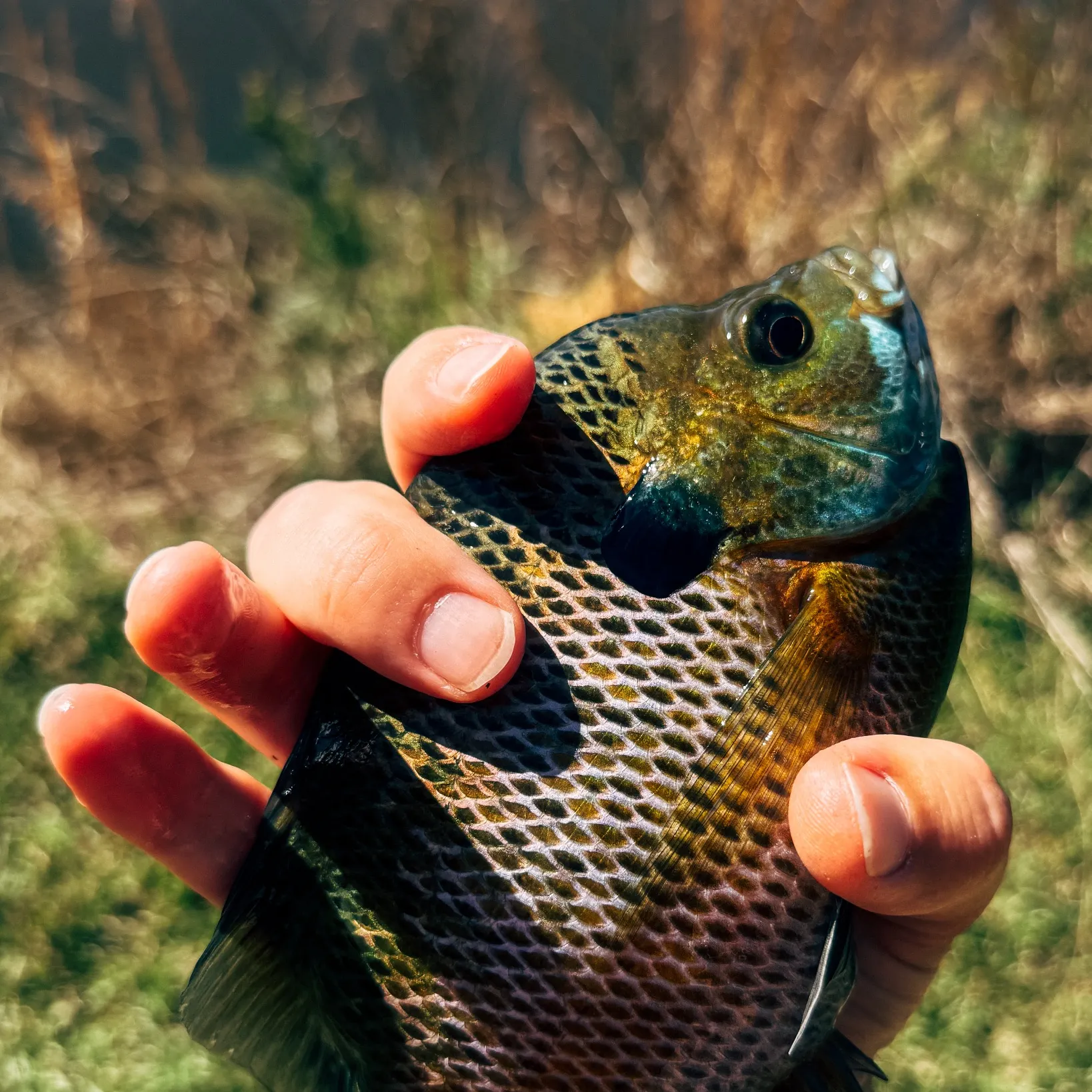
- @alexspiers reported a nice Bluegill.
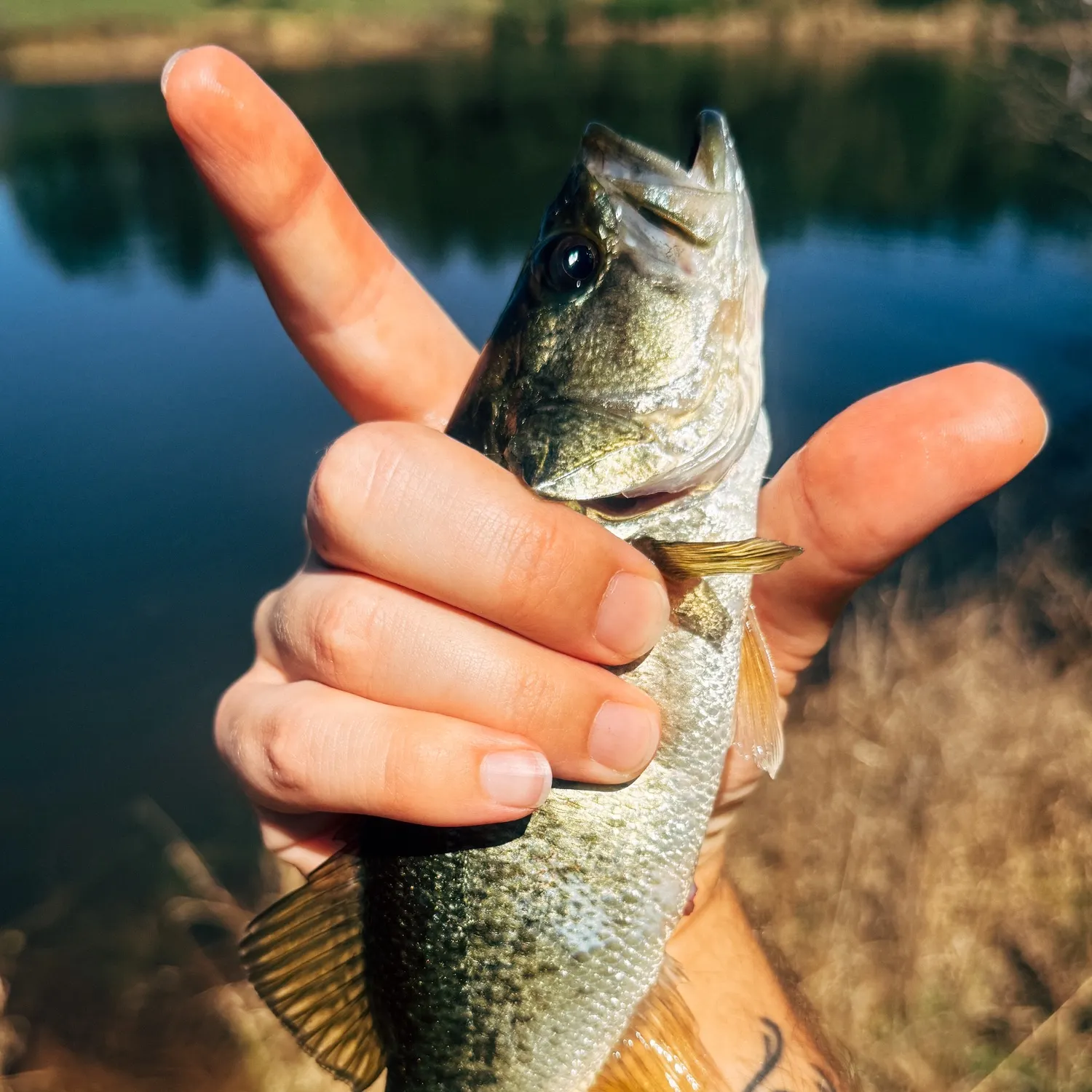
- @alexspiers reported a nice Largemouth bass.
- @alexspiers reported a nice Largemouth bass.
- @alexspiers reported a nice Largemouth bass.
- @alexspiers reported a nice Largemouth bass.
Free trial available