
Fishing in Fort Leonard Wood, MO
Best fishing spots in Fort Leonard Wood, MO
Missouri, United States
Missouri, United States
Missouri, United States
Missouri, United States
Missouri, United States
Missouri, United States
Missouri, United States
Missouri, United States
Missouri, United States

Want trophy-size catches? These Fort Leonard Wood spots deliver
Scan the QR code to download the app!
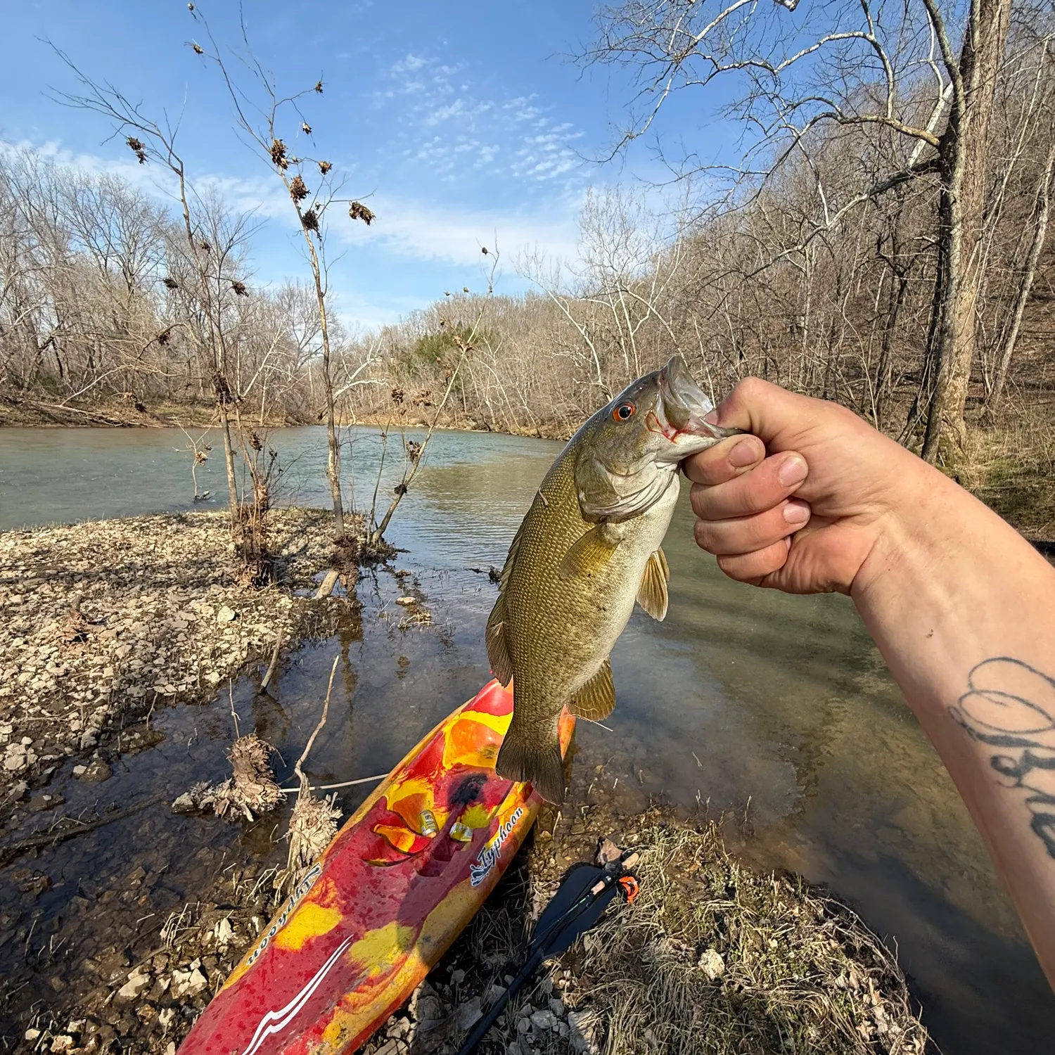
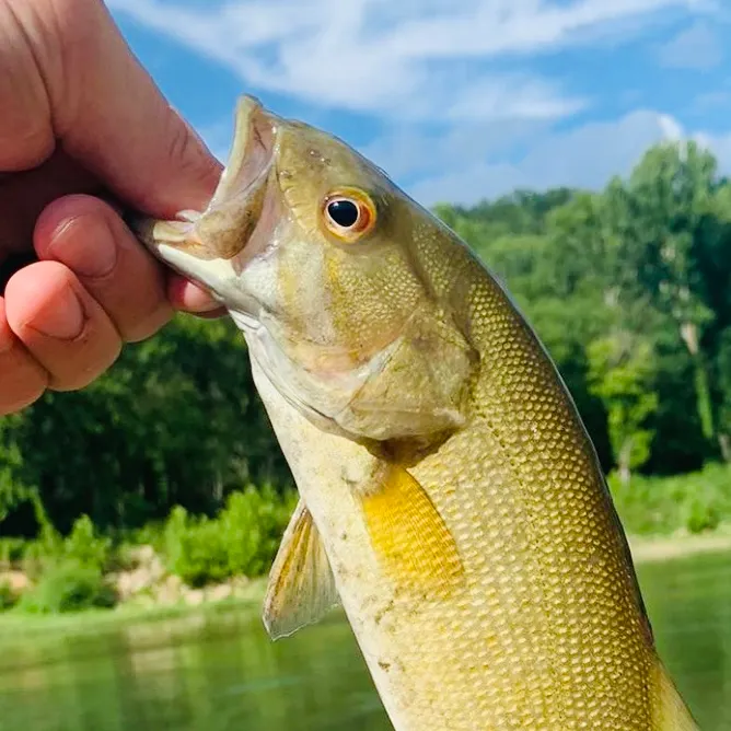
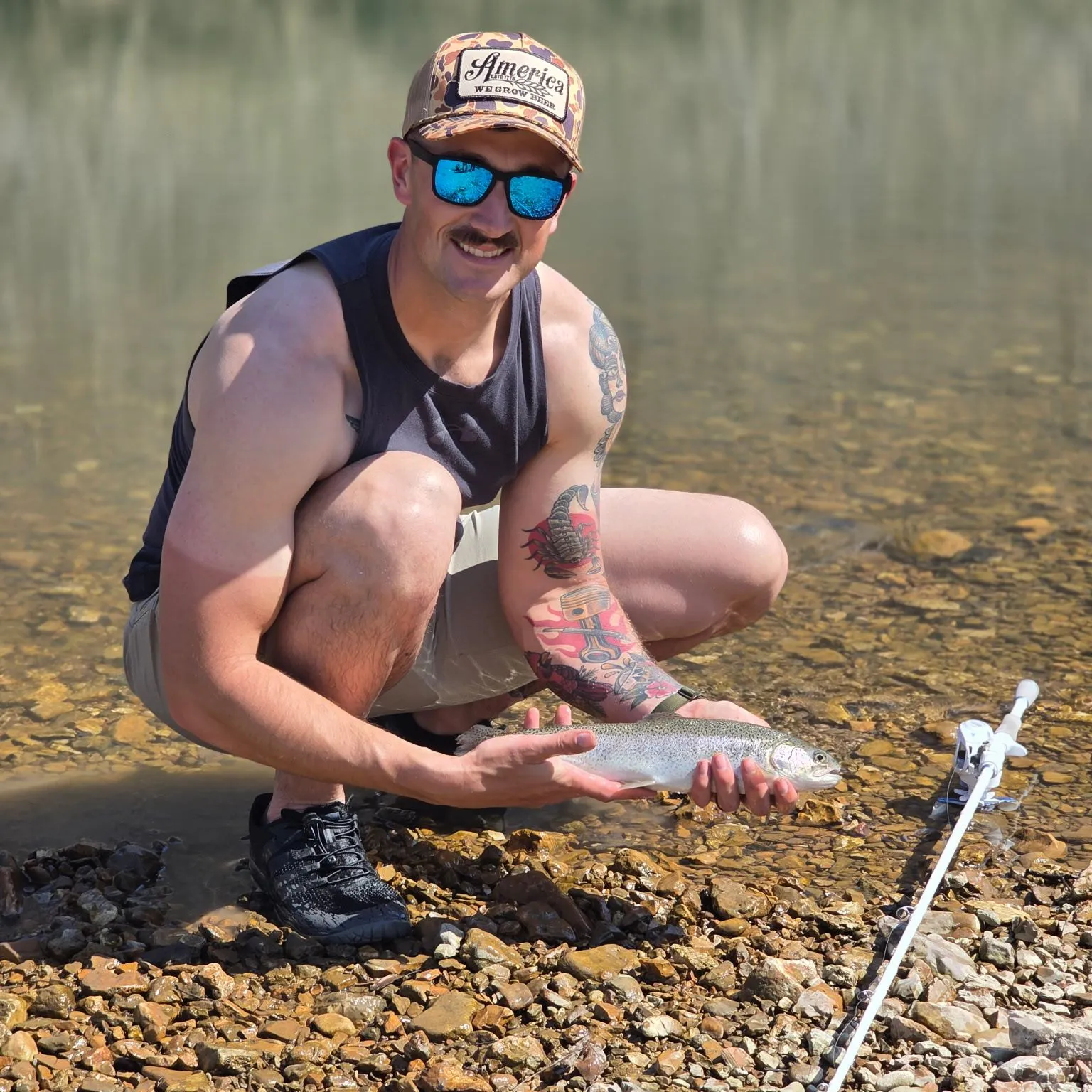
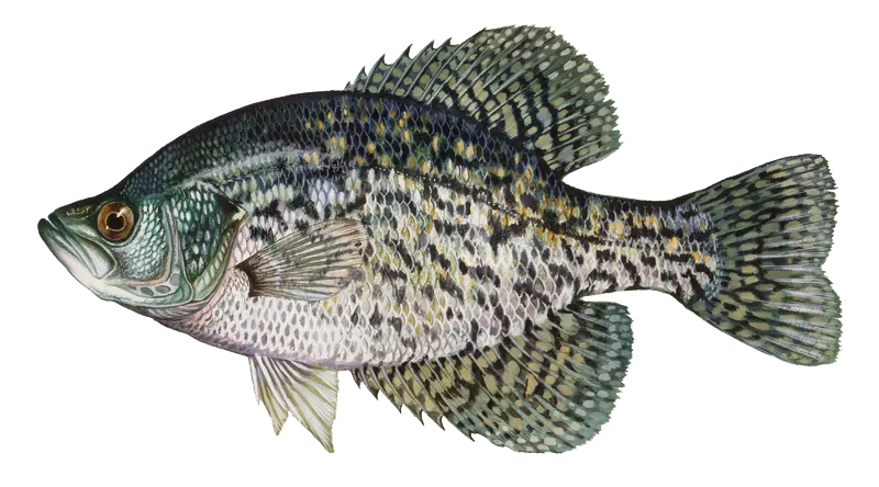
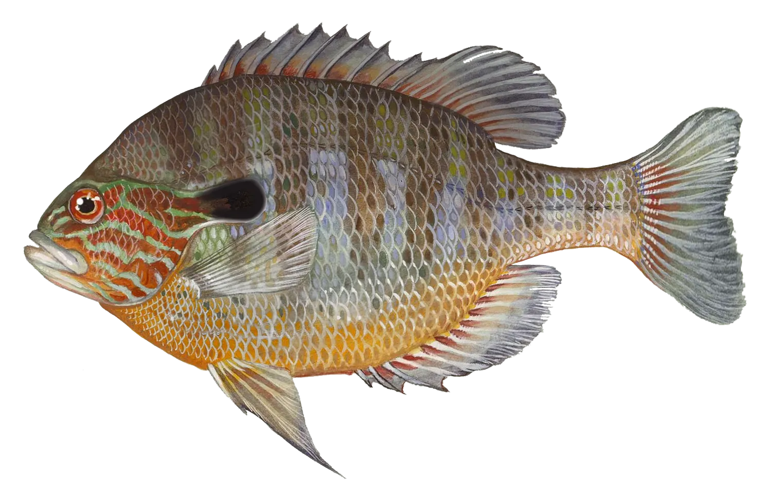
Top fish species in Fort Leonard Wood


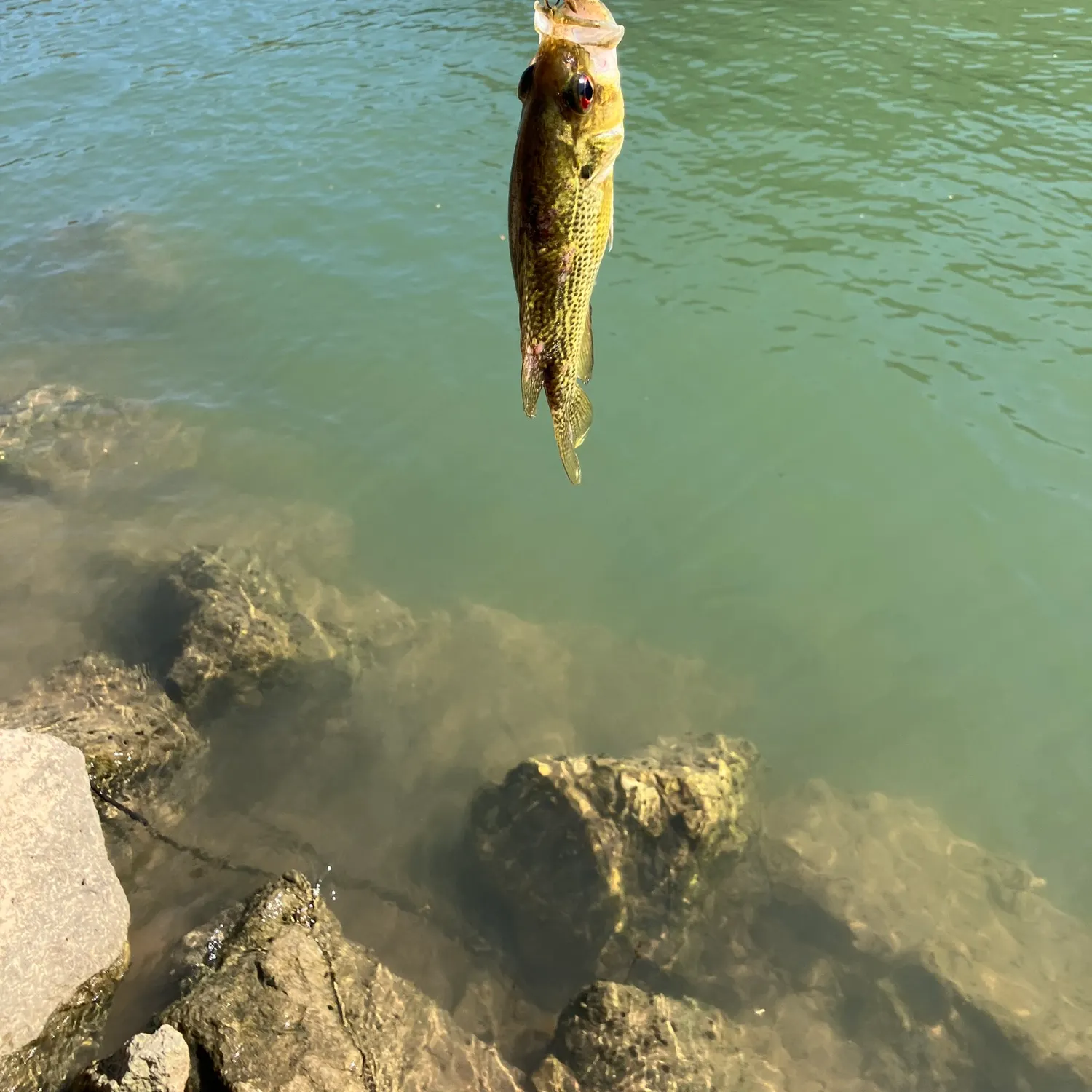
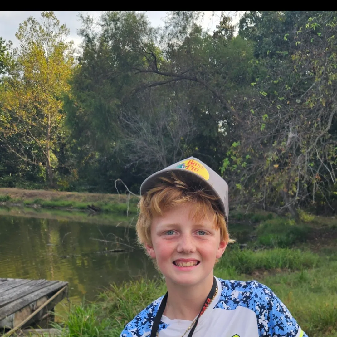
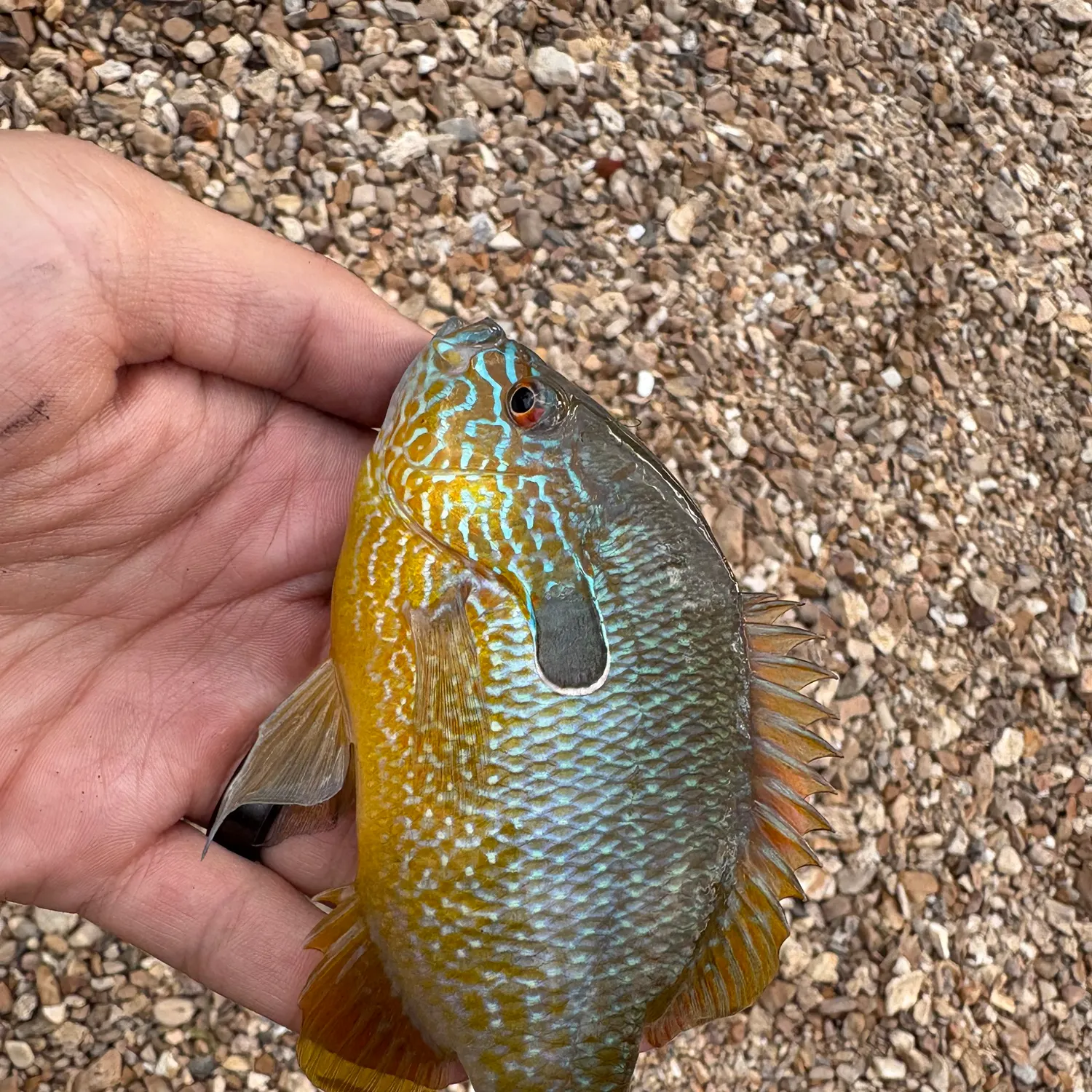
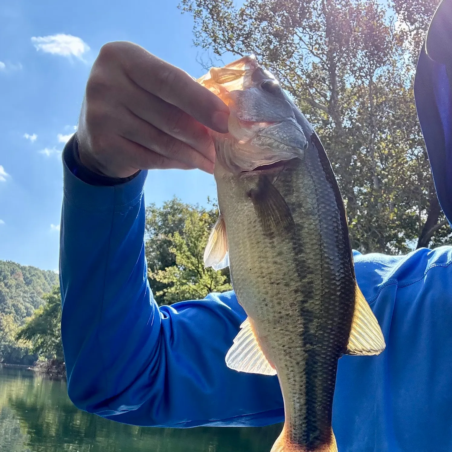
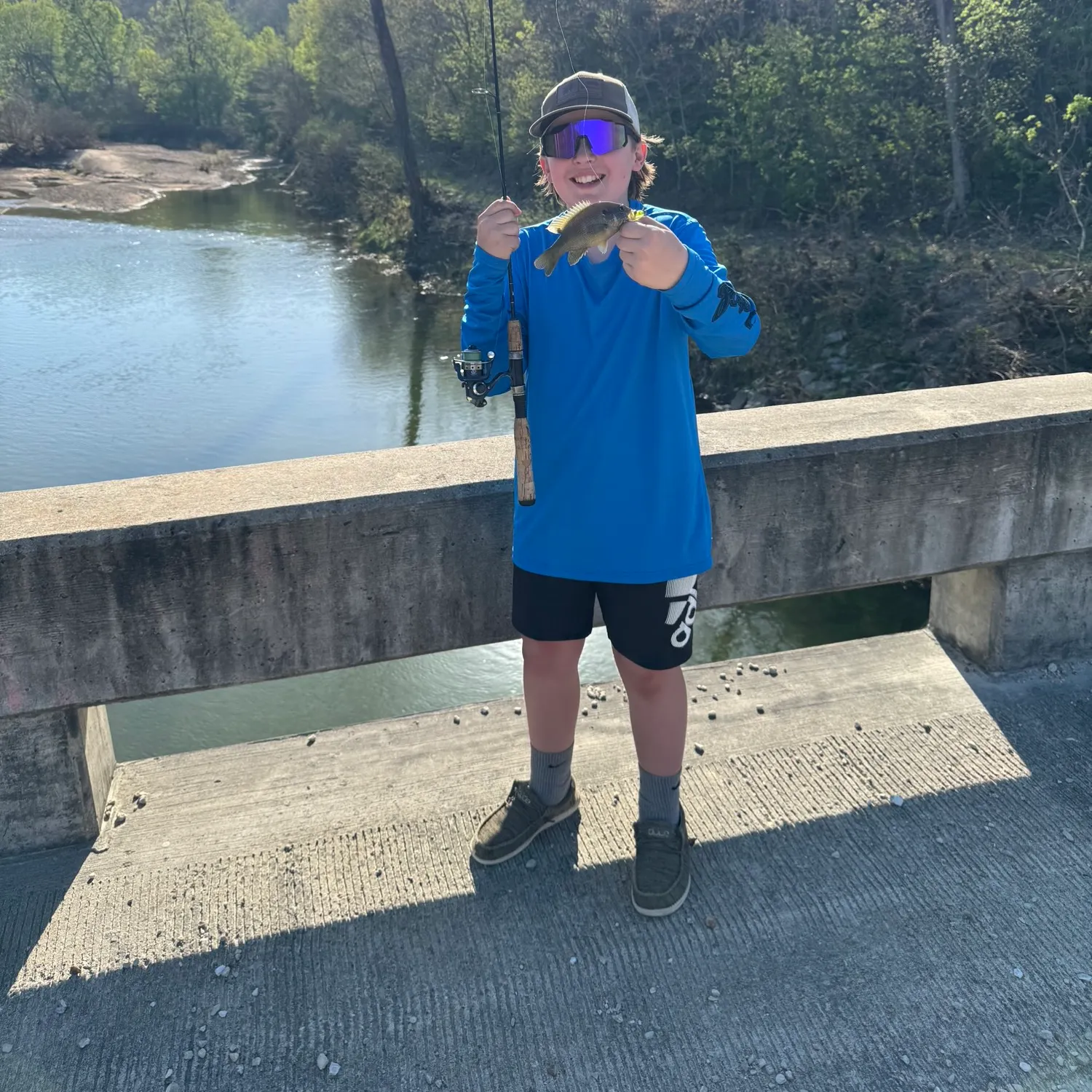
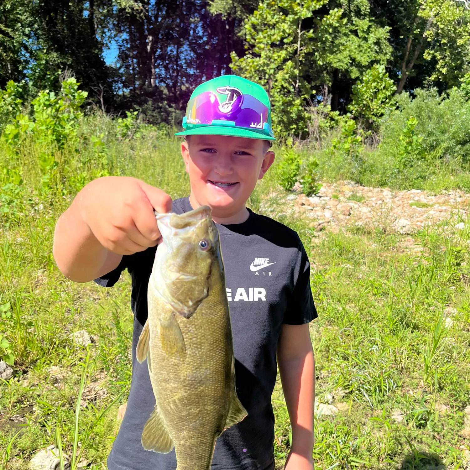
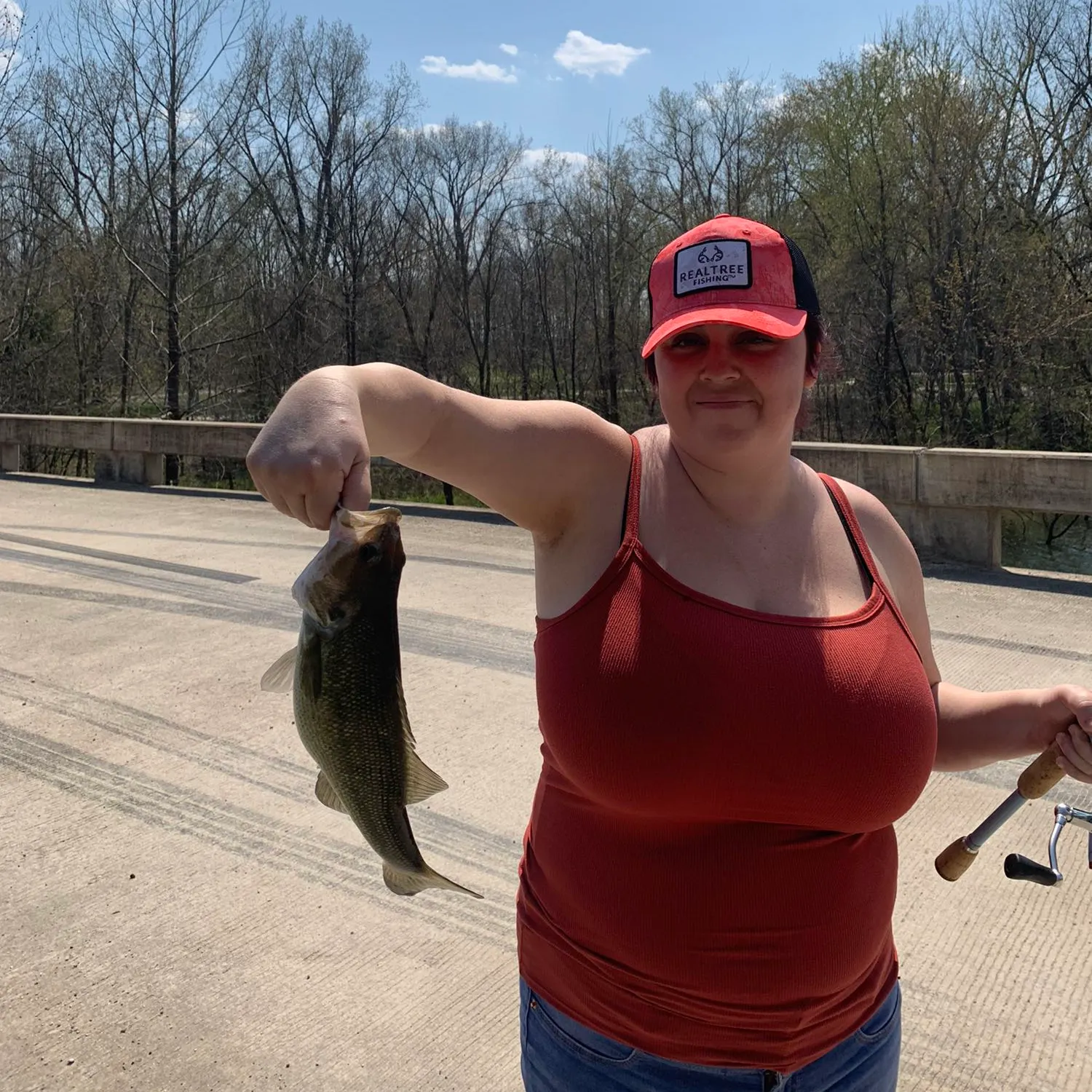
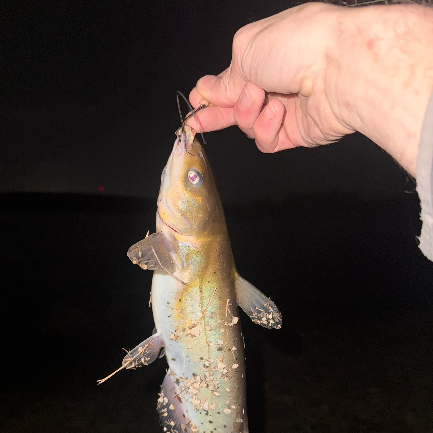
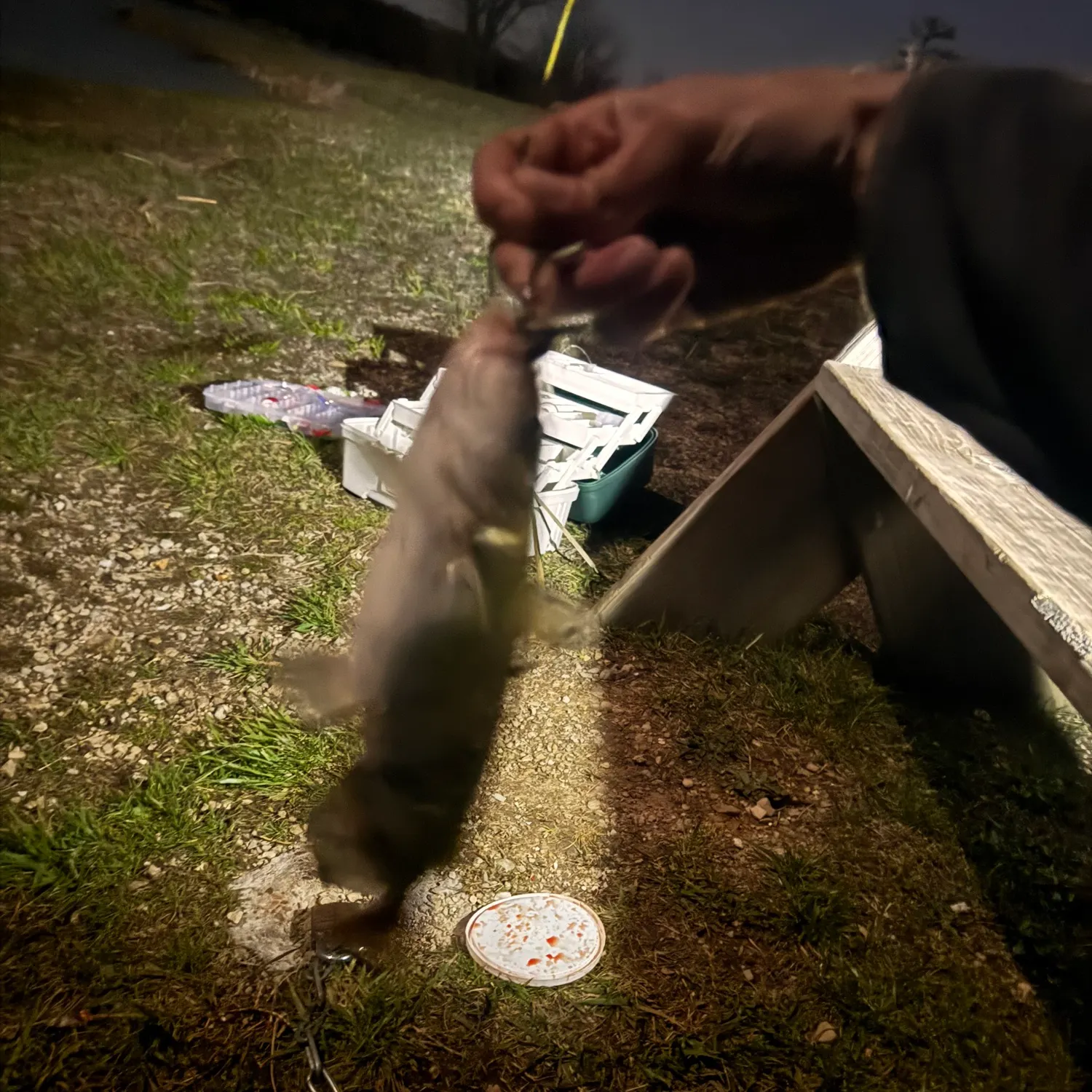
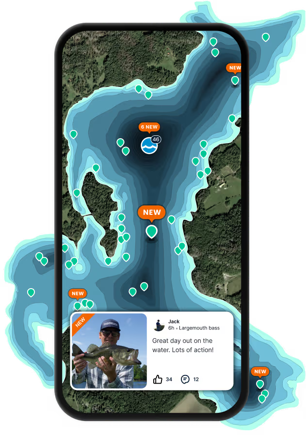
Latest Fort Leonard Wood fishing reports

Continue browsing catches and catch locations in the Fishbrain app
Scan the QR code to download the app!
About Fort Leonard Wood fishing
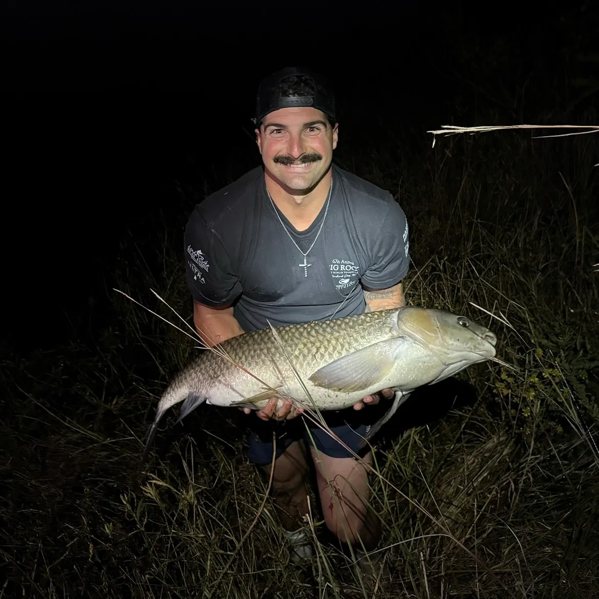
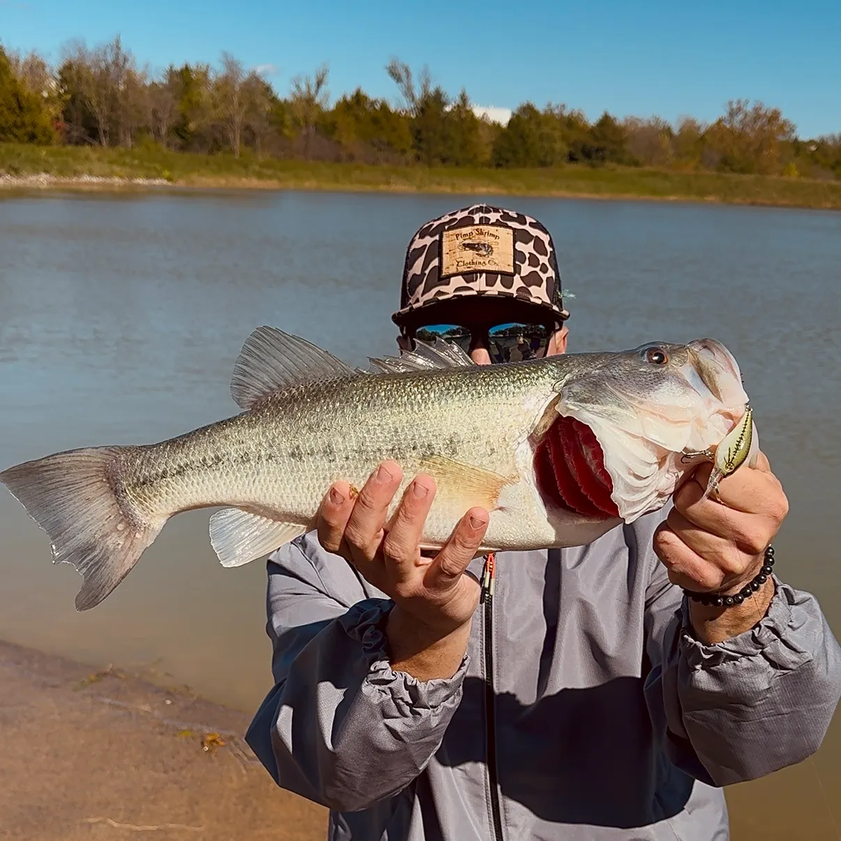
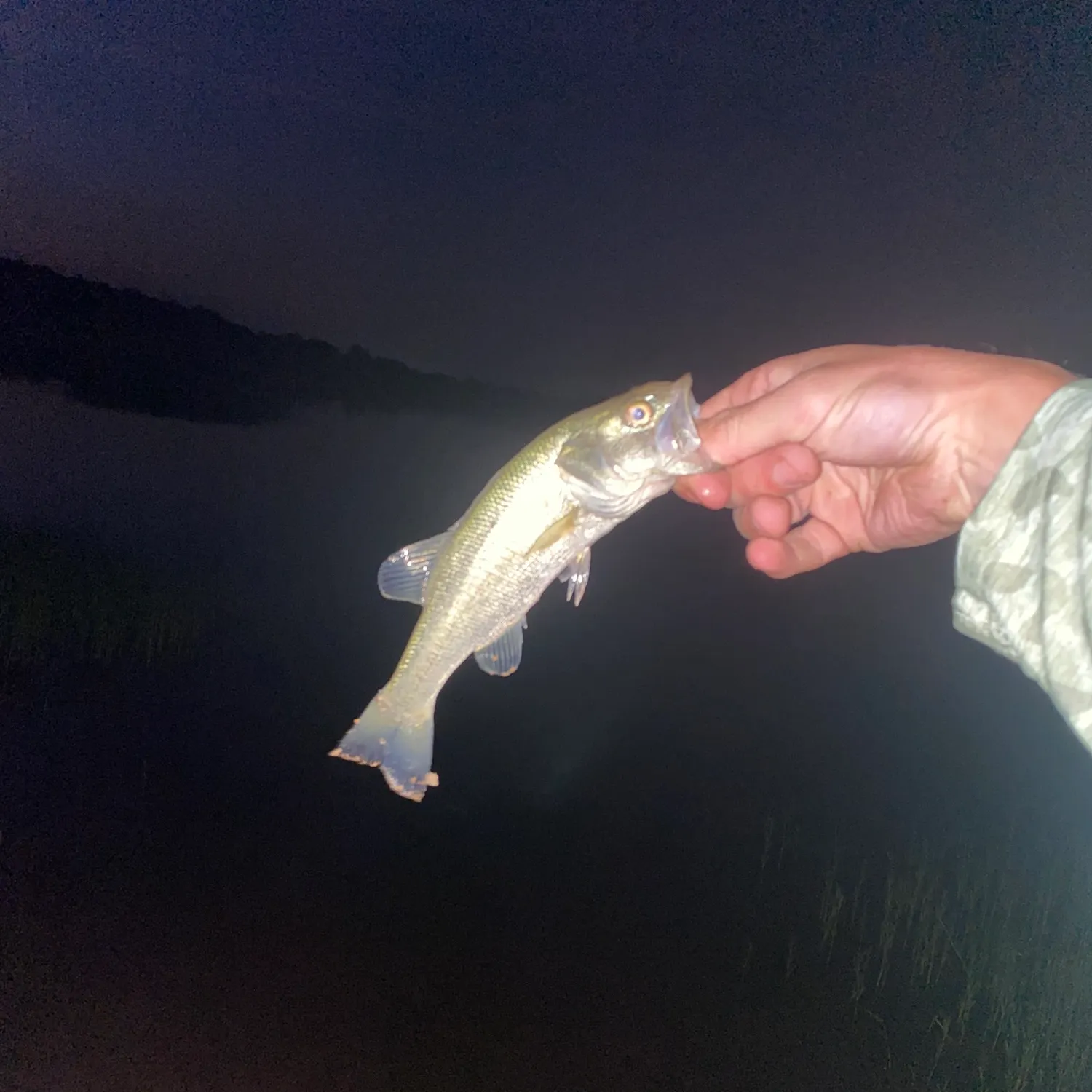
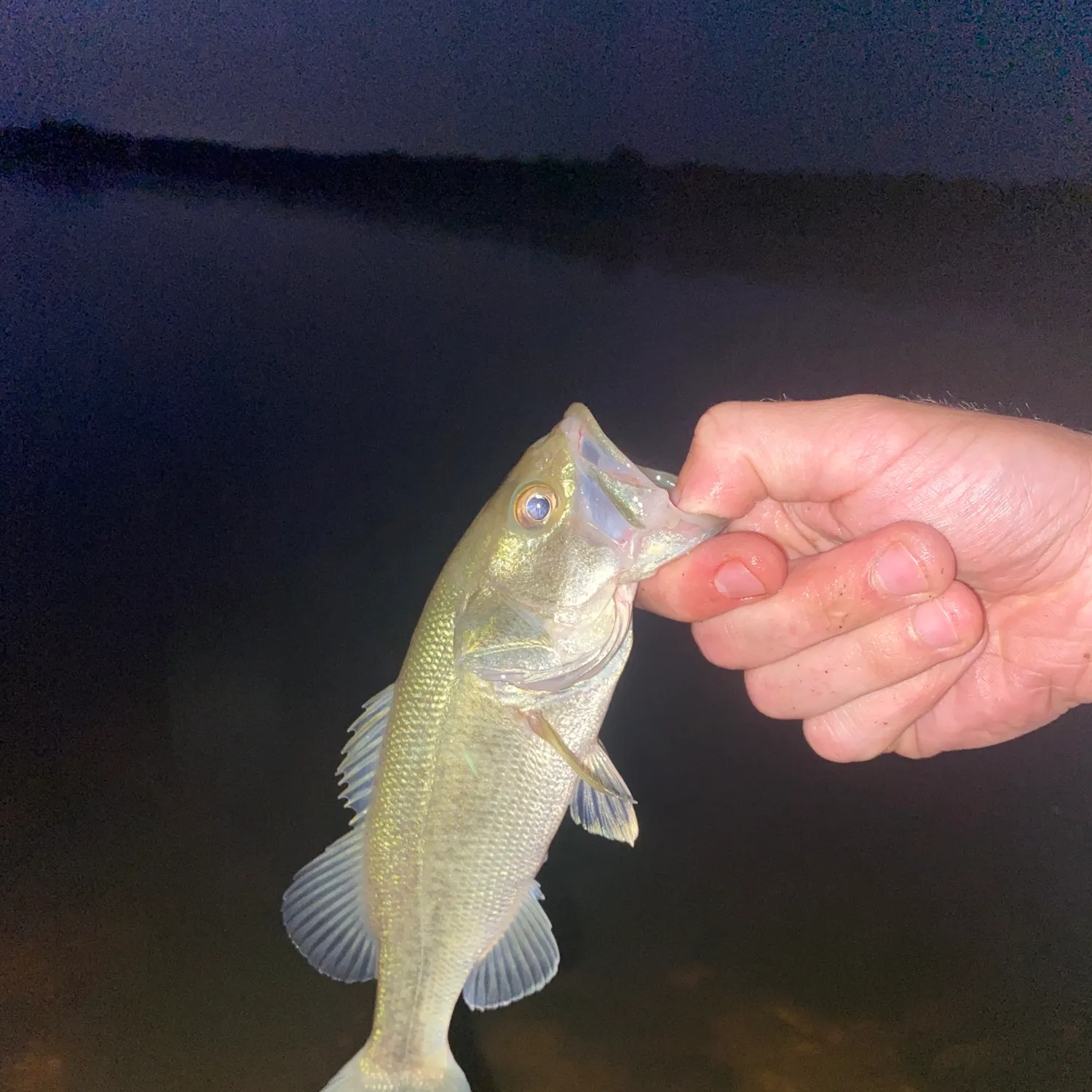
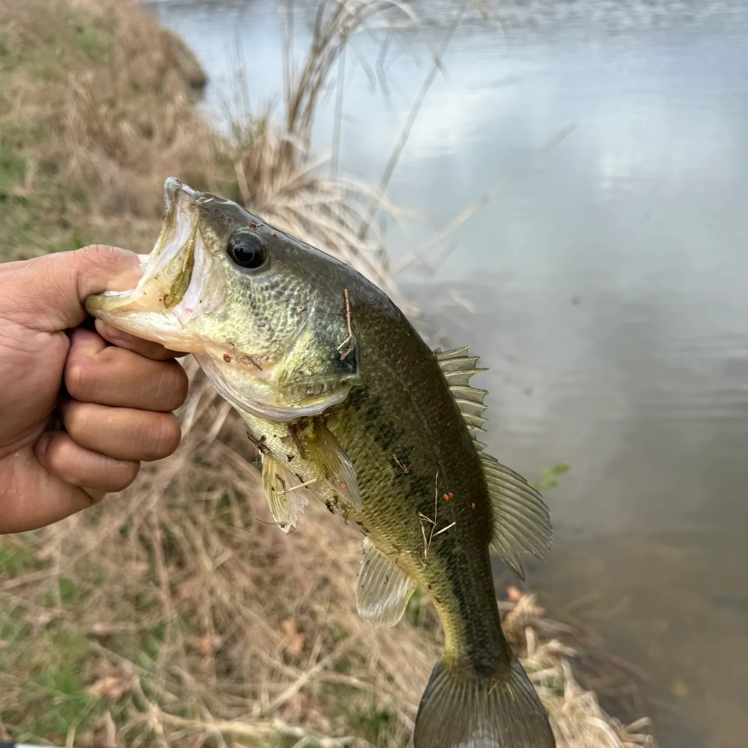
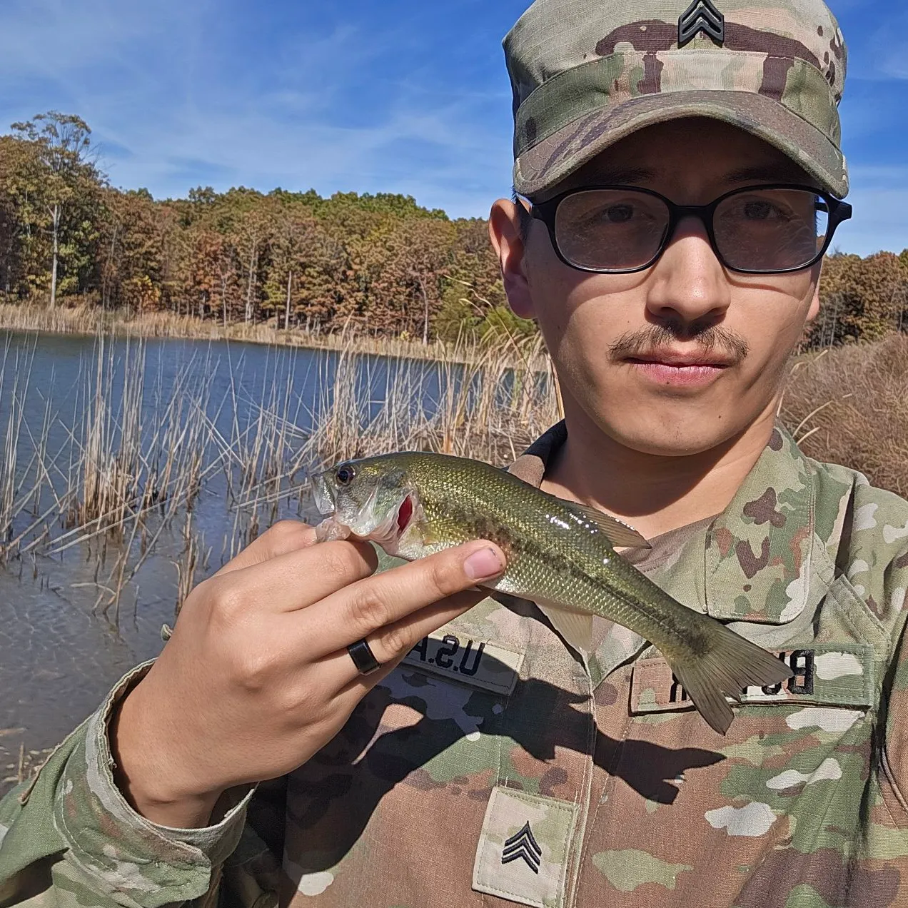
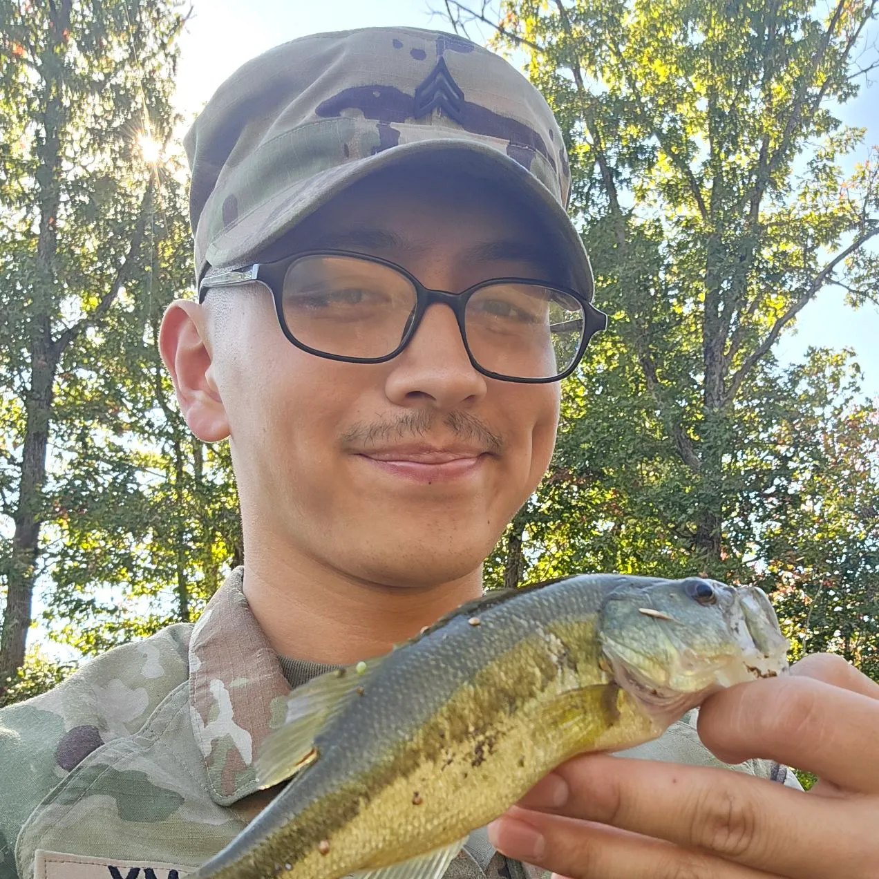
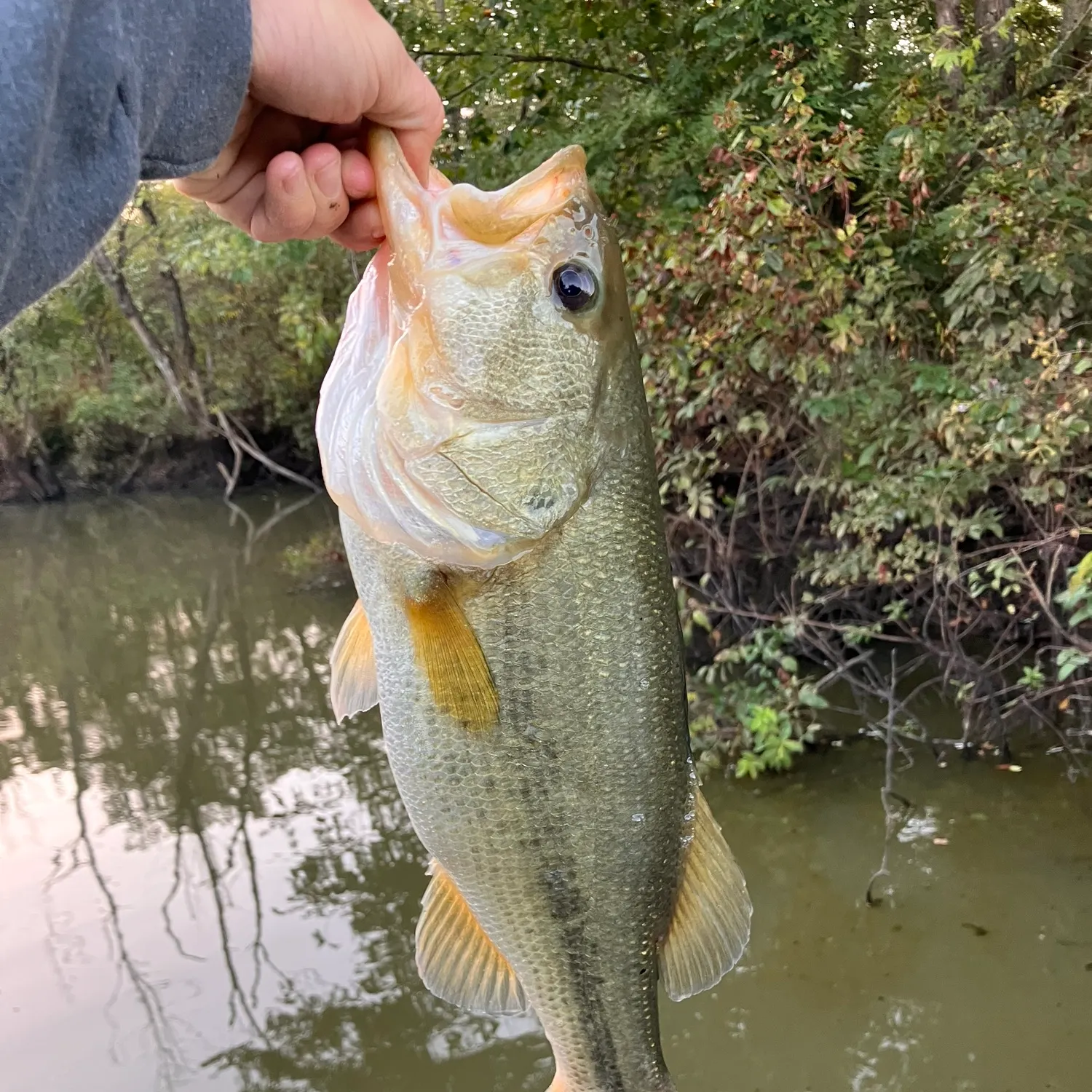
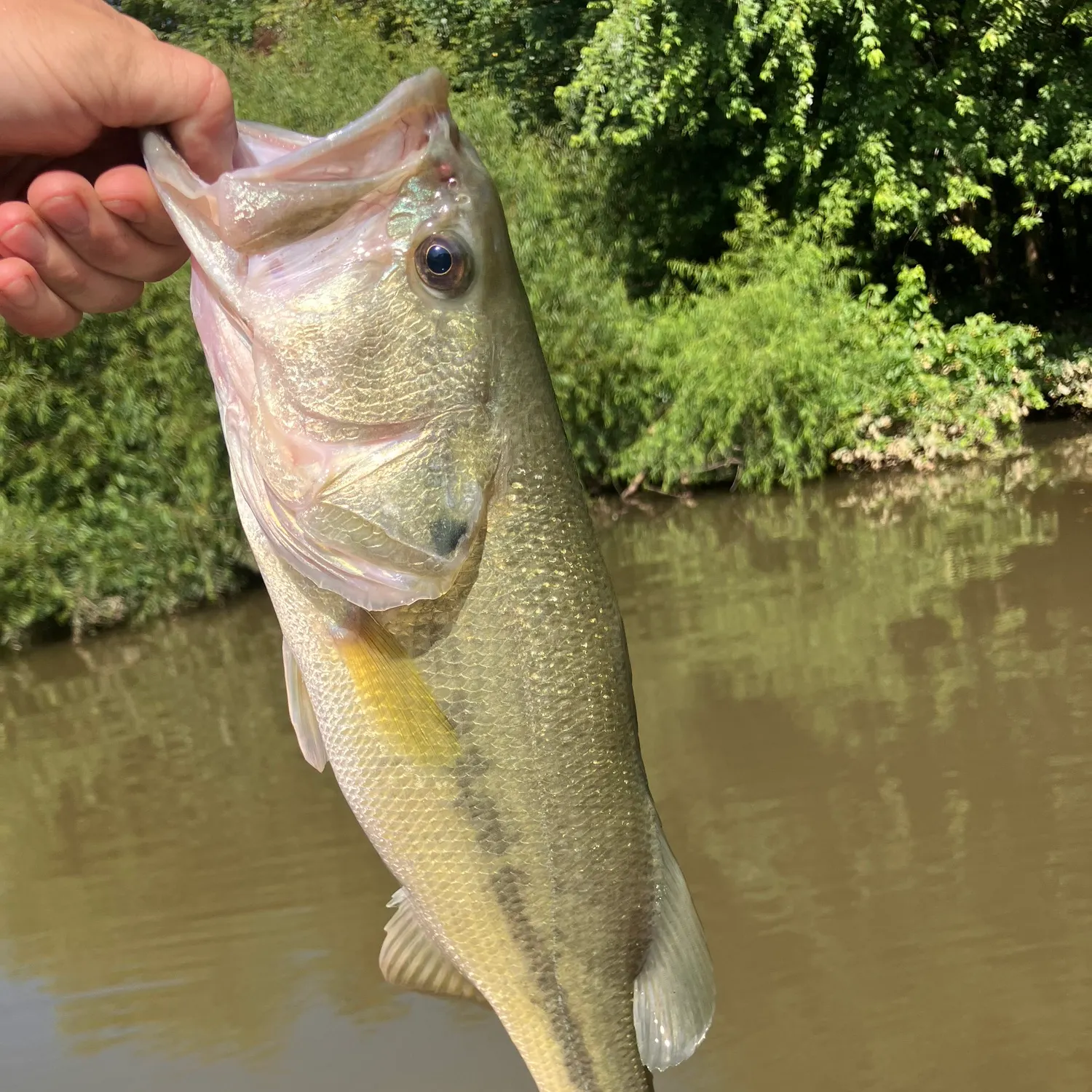
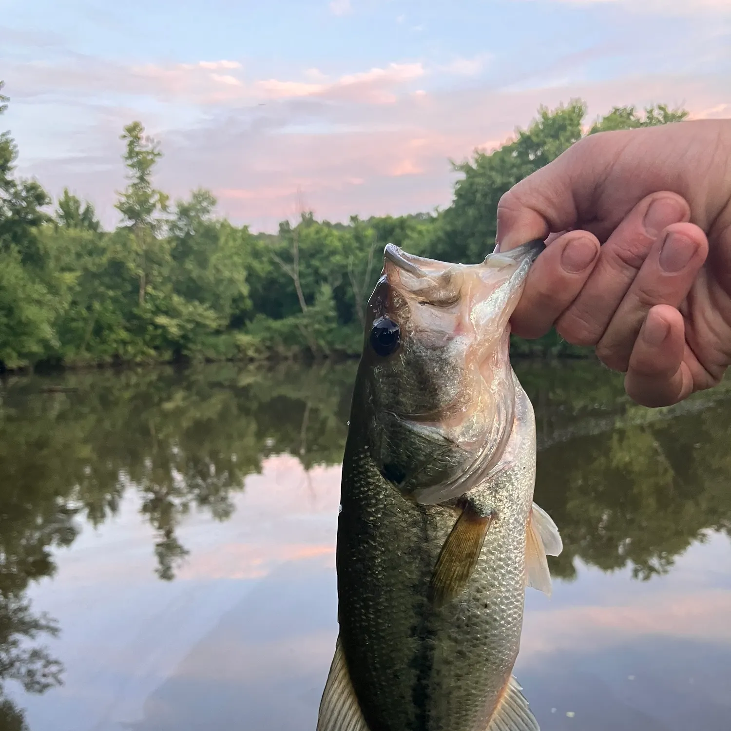
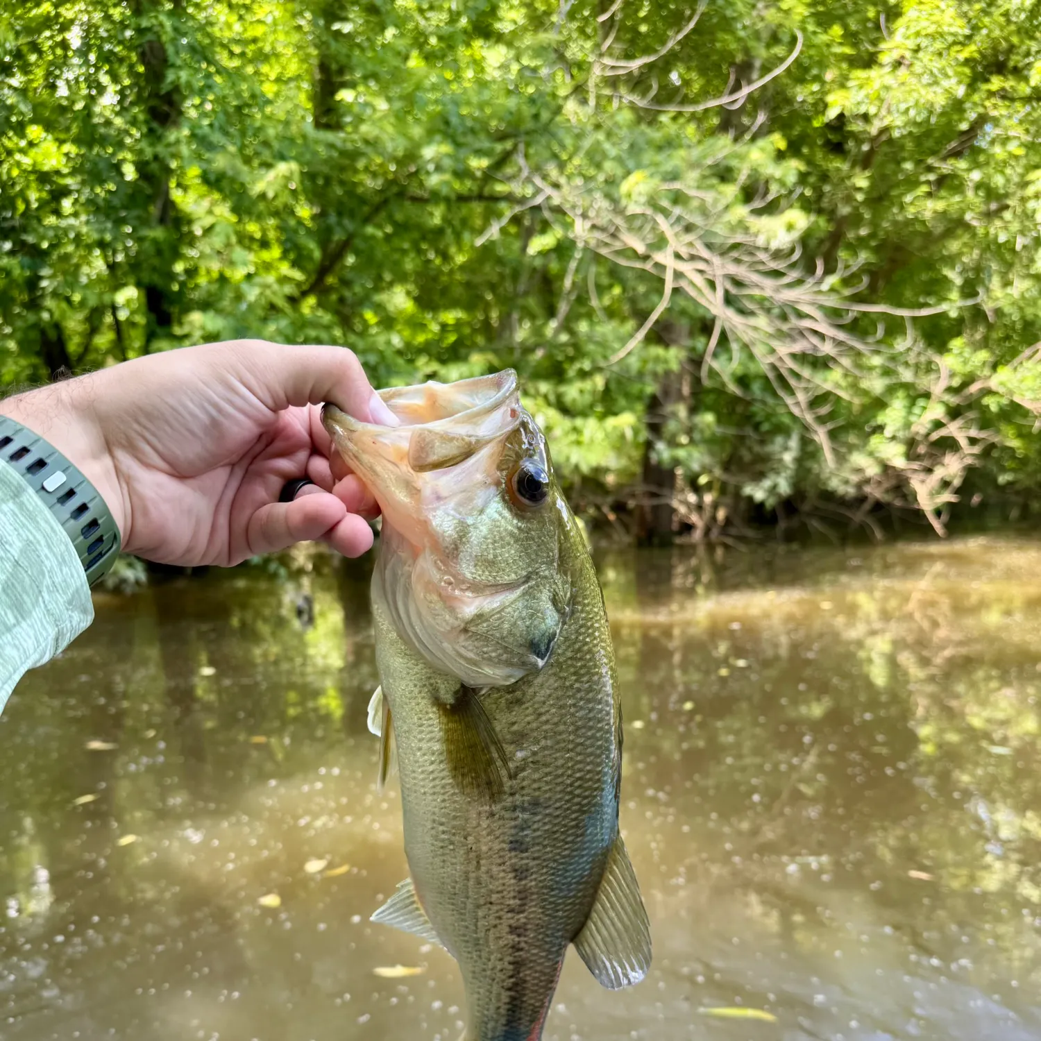
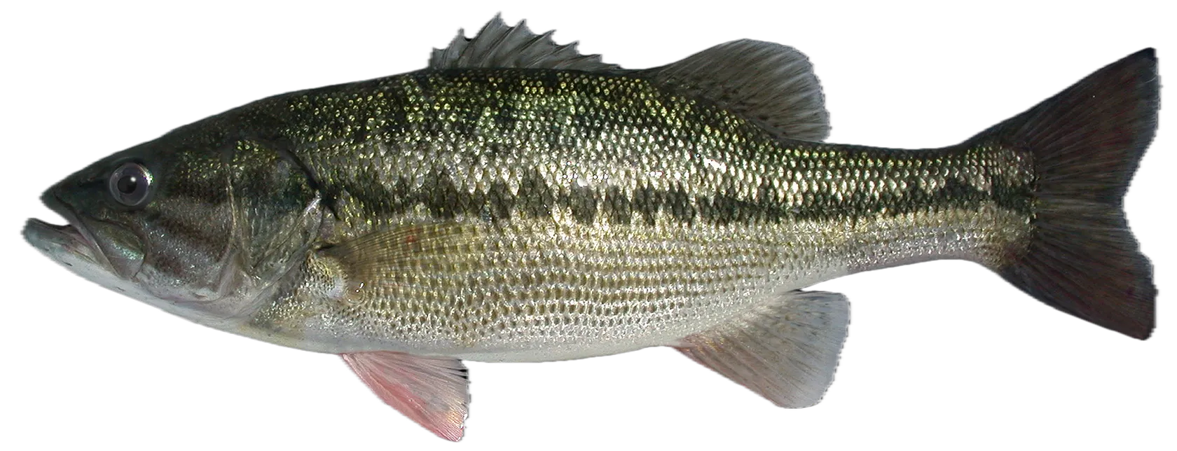
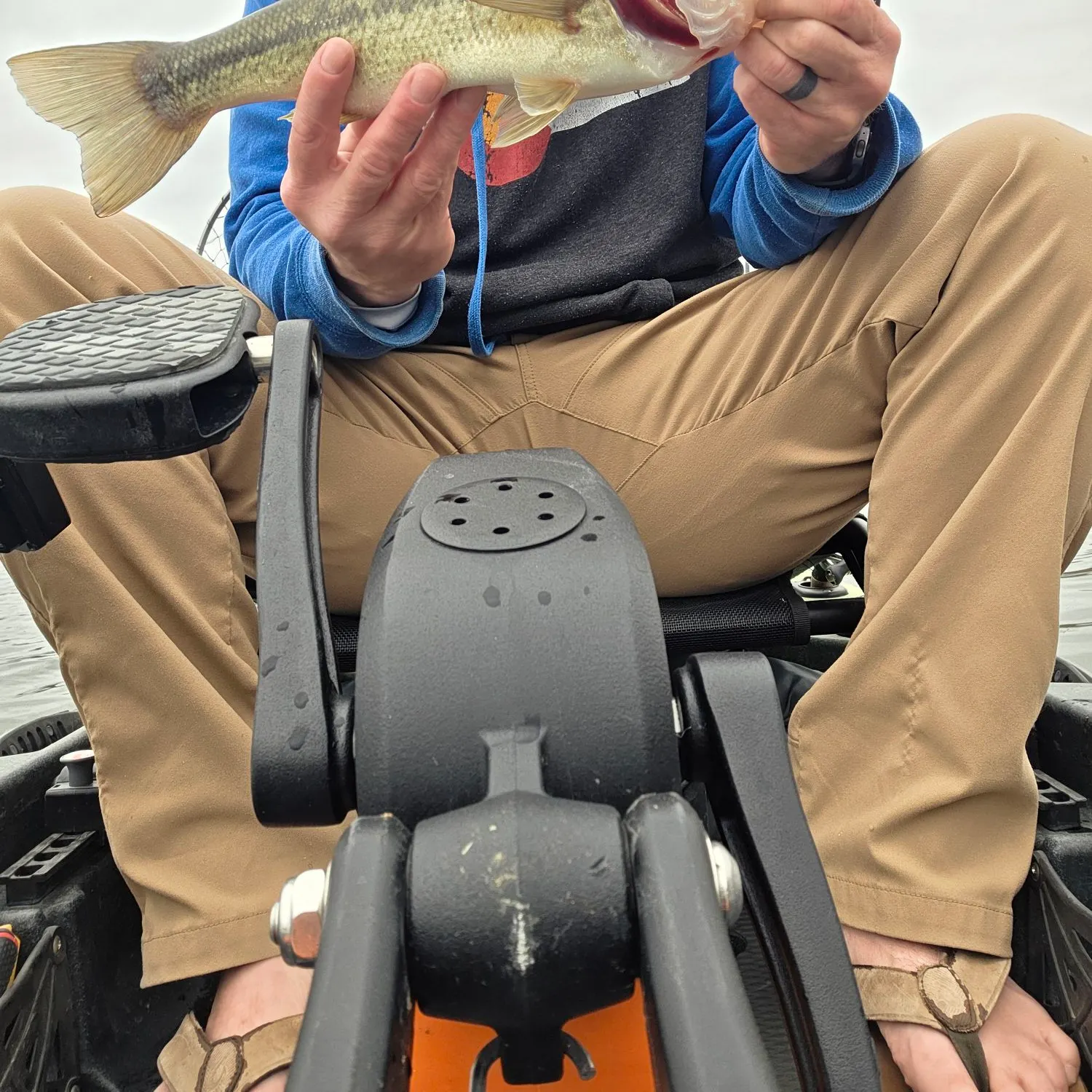
Check out the best fishing spots in and around Fort Leonard Wood, Missouri. Anglers using Fishbrain have logged: 1,437 catches for Largemouth bass, 679 catches for Smallmouth bass, and 171 catches for Rainbow trout.
Unlock fishing secrets in the app
Discover the best time to fish by species in your area with Bitetime™

Fishing regulations in Fort Leonard Wood
Disclaimer: Always check local fishing regulations, water access rights and land ownership before fishing, regardless of any catches logged in that area by the Fishbrain community. Fishbrain has mapped millions of acres of government-owned land across the USA to help you identify potential fishing access, but you are responsible for ensuring compliance with all legal requirements.
Fishing regulations in Missouri can change throughout the year. Make sure to check this page before fishing for the most up to date rules and regulations for the current season. Local regulations govern when you can fish, the max size of the fish you can keep, how many fish you can keep, and more.
Below you will see fishing regulations for catching Largemouth bass as of March 31st, 2026. To view regulations for a different fish species, please click on your preferred species in the drop-down.
Seasons
Bag limit
Min size
Measurement
Aggregate
Special Season for Ozark Streams:
May 27, 2023 - February 29, 2024 State limits apply on all Ozark streams, except those with more specific regulations. View map of streams.
For more details please see https://mdc.mo.gov/fishing/species/black-bass
Big Piney River
From Slabtown Access to the Gasconade River:
Daily limit: 6 black bass including only 1 smallmouth bass.
Length limit: Smallmouth bass: minimum 15"
Big Piney River Special Management Area map
For more information see Black Bass special area restrictions
Big River
Mainstem and its tributaries, except as noted below:
Daily and possession limit: Black bass: 12 fish including no more than 6 largemouth bass and smallmouth bass, combined total of both species.
Size limit: Spotted bass: None
From the Council Bluff Lake Dam to the Meramec River:
Daily and possession limit: 12 black bass including no more than 6 largemouth bass and smallmouth bass, combined total of both species, may include only 1 smallmouth bass
Size limit: Smallmouth bass: minimum 15 inches
Big River Special Management Area map
For more information see Black Bass special area restrictions
Blue Springs Creek
Black bass: The daily and possession limit is 12 fish and may include no more than 6 largemouth bass and smallmouth bass, combined total of both species.
Spotted bass: No minimum length limit.
In Crawford County
The use of porous-soled waders is prohibited.
For more information see Black Bass special area restrictions
Blue Springs Lake
Length limit: Black bass: minimum 15"
Allowed methods: Pole and line fishing only, except that shad may be taken by dip net or throw net.
For more information see Black Bass special area restrictions
Bourbeuse River
Mainstem and its tributaries:
Spotted bass: No length limits
Black bass: The daily and possession limit is 12 fish and may include no more than 6 largemouth bass and smallmouth bass, combined total of both species.
For more information see Black Bass special area restrictions
Blue Shoals Lake
Lakewide: Ozark and Taney
Length limit: Black bass: minimum 15" on largemouth and smallmouth bass; minimum 12" on spotted bass
On the lake and its tributaries: Ozark, Taney, Christian, and Douglas
Daily limit: Striped bass: only 3 striped bass may be included in the aggregate
Length limit: Striped bass: minimum 20"
There are no length limits for white bass, yellow bass, or their hybrids.
From Powersite Dam to Highway 76: Taney
Prohibited Methods: Trotlines, throwlines and limb lines
For more information see Black Bass special area restrictions
Curtois Creek
Mainstem and its tributaries:
Daily limit: Black bass: 12 fish, including no more than 6 largemouth bass and smallmouth bass, combined total of both species
Length limit: Spotted bass: None
For more information see Black Bass special area restrictions
Eleven Point River
In Oregon County: The use of porous-soled waders is prohibited.
From Thomasville Access to the Arkansas line:
Smallmouth bass—15 inch minimum length limit. The daily limit of 6 black bass may include only 1 smallmouth bass.
For more information see Black Bass special area restrictions
Elk River
Length limits: Smallmouth bass—minimum 15"
Daily limit: Black bass—6, may include only 1 smallmouth bass.
Elk River Special Management Area map
For more information see Black Bass special area restrictions
Gasconade River
From Highway Y in Pulaski County to Highway D in Phelps County
Length limits: Smallmouth bass—minimum 15"
Daily limit: 6 black bass may include only 1 smallmouth bass.
Gasconade River Special Management Area map
For more information see Black Bass special area restrictions
Huzzah Creek
Mainstem and its tributaries:
Length limit: Spotted bass—none
Daily limit: 12 fish and including no more than 6 largemouth bass and smallmouth bass, combined total of both species.
For more information see Black Bass special area restrictions
Jacks Fork River
From Highway 17 to the Current River:
Length Limits: Smallmouth bass—minimum 15"
Daily Limit: 6 black bass including only 1 smallmouth bass.
Jacks Fork River Special Management Area map
For more information see Black Bass special area restrictions
James River
From Hooten Town bridge (the Loop Road at Route O) to the Highway 413/Highway 265 bridge at Galena
Length Limits:
Smallmouth bass—minimum 15"
Daily Limit: 6 black bass including only 1 smallmouth bass.
James River Special Management Area map
For more information see Black Bass special area restrictions
Joachim Creek
From Jefferson County Highway V bridge to Highway A bridge:
Length limits: Smallmouth bass— minimum 15"
Daily limit: 6 black bass, including only 1 smallmouth bass
Joachim Creek Special Management Area map
For more information see Black Bass special area restrictions
Lake of the Ozarks
Lakewide:
Length limit: Black bass: minimum 15" for largemouth and smallmouth bass; minimum 12" for spotted bass
On the lake and its tributaries:
Daily limit: Do not continue to snag, snare or grab for any species after taking a daily limit of 2 paddlefish.
Within 525 feet on the left descending bank and 977 feet on the right descending bank below Truman Dam in the U.S. Army Corps of Engineers' restricted zone:
Area note: No fishing is allowed.
From the downstream end of the no-fishing zone below Truman Dam to U.S. Highway 65:
Prohibited methods: Trotlines, throwlines, limb lines, jug lines, snagging, snaring and grabbing are prohibited.
For more information see Black Bass special area restrictions
Long Branch Lake
Length Limits: Black bass: minimum 15"
For more information see Black Bass special area restrictions
Longview Lake
Length limit: Black bass: minimum 15"
Allowed methods: Pole and line fishing only, except that shad may be taken by dip net or throw net.
For more information see Black Bass special area restrictions
Mark Twain Lake
Length limits: Black bass: minimum 15"
For more information see Black Bass special area restrictions
Meramec River
Black bass: Daily and possession limit is 12 fish and may include no more than 6 largemouth bass and smallmouth bass, combined total of both species.
Spotted bass: no minimum length limit
In Crawford and Phelps counties:
The use of porous-soled waders is prohibited.
From Highway 8 bridge to the railroad crossing at Bird's Nest:
Length limit: Smallmouth bass: 15 inch minimum.
Daily and possession limit: 12 black bass, which may include no more than 6 largemouth bass and smallmouth bass, combined total of both species, may include only 1 smallmouth bass.
Meramec River Special Management Area map
For more information see Black Bass special area restrictions
Mineral Fork
Mainstem and its tributaries, except as noted below:
Daily limit: Black bass—The daily and possession limit is 12 fish and may include no more than 6 largemouth bass and smallmouth bass, combined total of both species.
Length limit: Spotted bass—No minimum length limit
From Highway F in Washington County to the Big River:
Length limit: Smallmouth bass—minimum 15"
Daily limit: Daily and possession limit of 12 black bass, which may include no more than 6 largemouth bass and smallmouth bass, combined total of both species, may include only 1 smallmouth bass
Mineral Fork Special Management Area map
For more information see Black Bass special area restrictions
Mississippi River
This area encompasses the Mississippi River, including Pools 20-26, the temporary overflow waters east of the Missouri Pacific Railroad between Cape Girardeau and Scott City, and the temporary overflow waters east of the mainline and setback levees between Commerce and the Arkansas state line.
Mississippi River, including Pools 20-26
Length limits: Black bass: minimum 12"
Allowed methods: Limit of 2 poles per licensed angler. Limit of 50 hooks on a trotline
For more information see Black Bass special area restrictions
Montrose Lake
Daily Limit: Black bass: 2
Length limit: Black bass: minimum 18"
For more information see Black Bass special area restrictions
Norfork Lake
Lakewide:
Length limit: Black bass: minimum 15" on largemouth and smallmouth bass; minimum 12" on spotted bass
For more information see Black Bass special area restrictions
Osage Fork of the Gasconade River
From Skyline Drive bridge near Orla in Laclede County to the Gasconade River:
Daily limit: 6 black bass including only 1 smallmouth bass
Length limit: Smallmouth bass—minimum 15"
Osage Fork Special Management Area map
For more information see Black Bass special area restrictions
Pomme de Terre Lake
Length limits: Black bass: minimum 13"
For more information see Black Bass special area restrictions
Salt River
On the Clarence Cannon Reregulation Pool within 400 feet below Clarence Cannon Dam in the no-boating zone:
No fishing is allowed.
From the downstream end of the no-fishing zone below Clarence Cannon Dam to the posted power line crossing on the Clarence Cannon Reregulation Pool:
Allowed methods: Pole and line fishing only.
From the Clarence Cannon Reregulation Pool below Mark Twain Lake dam
Length limit: Black bass—minimum 12"
From all adjoining backwaters and from the main channel beginning 1,000 feet below the Clarence Cannon Reregulation Pool Dam to Route A:
Allowed methods: Fishing by pole and line and bow only
For more information see Black Bass special area restrictions
Smithville Lake
Length limits: Black bass: minimum 15"
For more information see Black Bass special area restrictions
Stockton Lake
Length limits: Black bass: minimum 15" length limit on largemouth and smallmouth bass; minimum 12" length limit on spotted bass.
For more information see Black Bass special area restrictions
Table Rock Lake
Lakewide:
Daily limit: Do not continue to snag, snare or grab for any species after taking a daily limit of 2 paddlefish.
Size limit: Black bass: minimum 15"
For more information see Black Bass special area restrictions
Ten Mile Creek
From Highway B in Carter County to Cane Creek
Length limits: Smallmouth bass—minimum 15"
Daily limit: 6 black bass including only 1 smallmouth bass.
Tenmile Creek Special Management Area map
For more information see Black Bass special area restrictions
Thomas Hill Lake
Length limits: Black bass: minimum 15"
For more information see Black Bass special area restrictions
Truman Lake
Lakewide
Size limit: Black bass: minimum 15" length limit on largemouth and smallmouth bass; minimum 12" length limit on spotted bass.
On the lake and its tributaries
Daily limit: Prohibited Methods: No person shall continue to snag, snare or grab for any species after taking a daily limit of 2 paddlefish.
For more information see Black Bass special area restrictions
Micropterus nigricans
Regulations for
Free trial available
FAQ about Fort Leonard Wood fishing
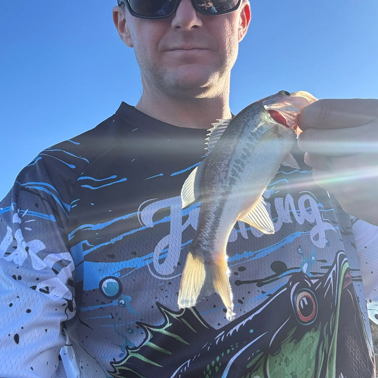
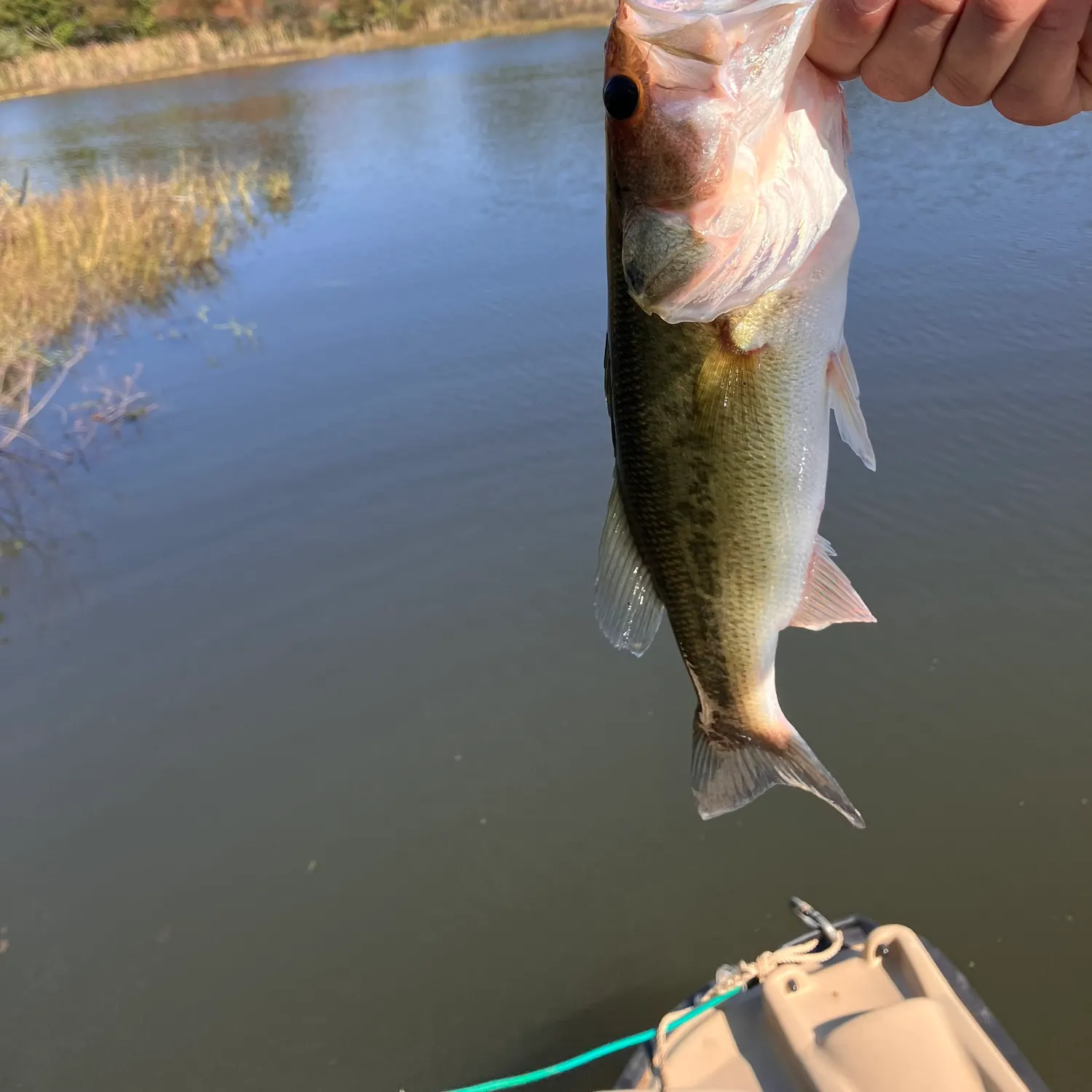
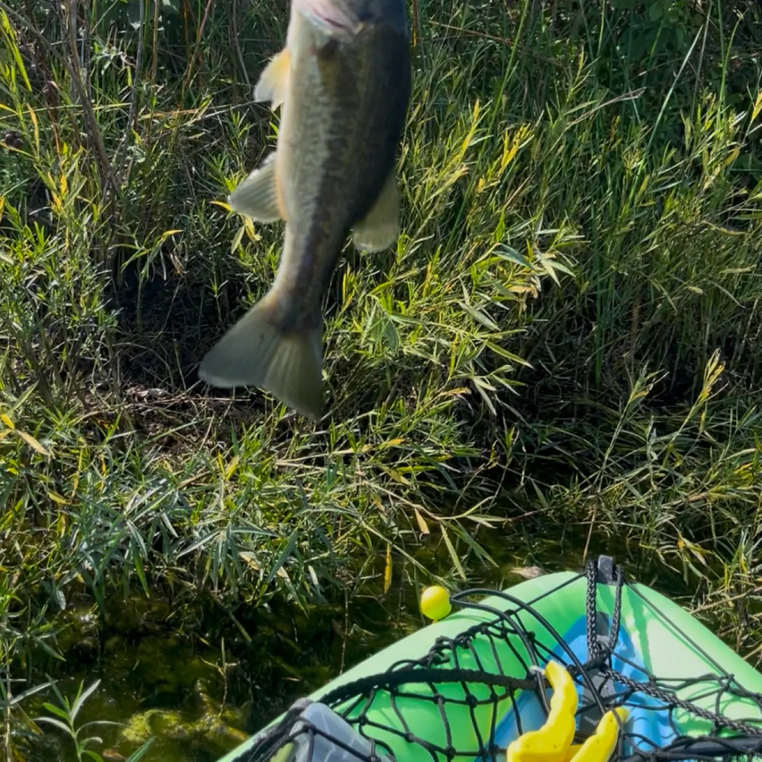
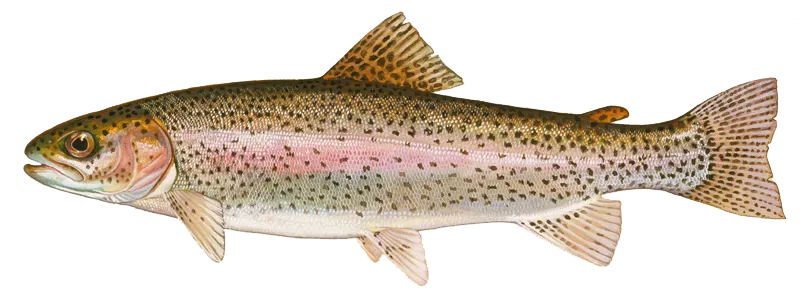
- Largemouth bass - 1,437 reported catches
- Smallmouth bass - 679 reported catches
- Rainbow trout - 171 reported catches
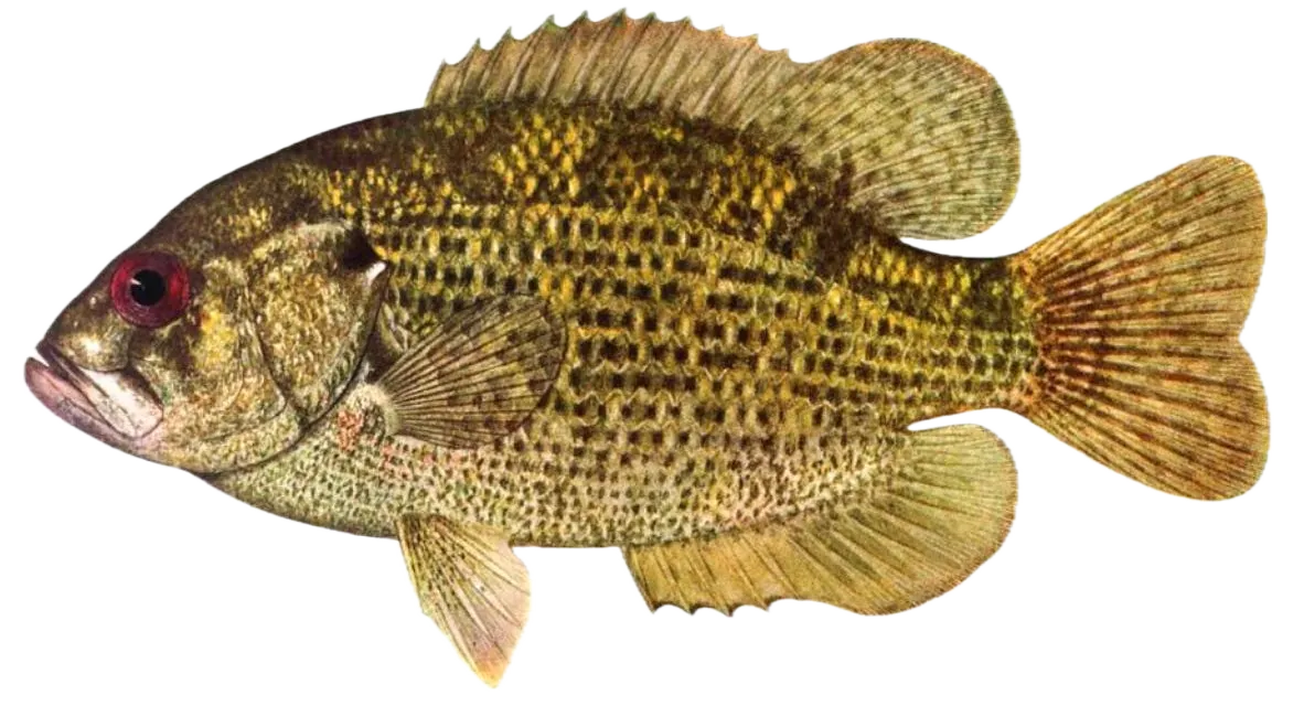
- Rock bass - 155 reported catches
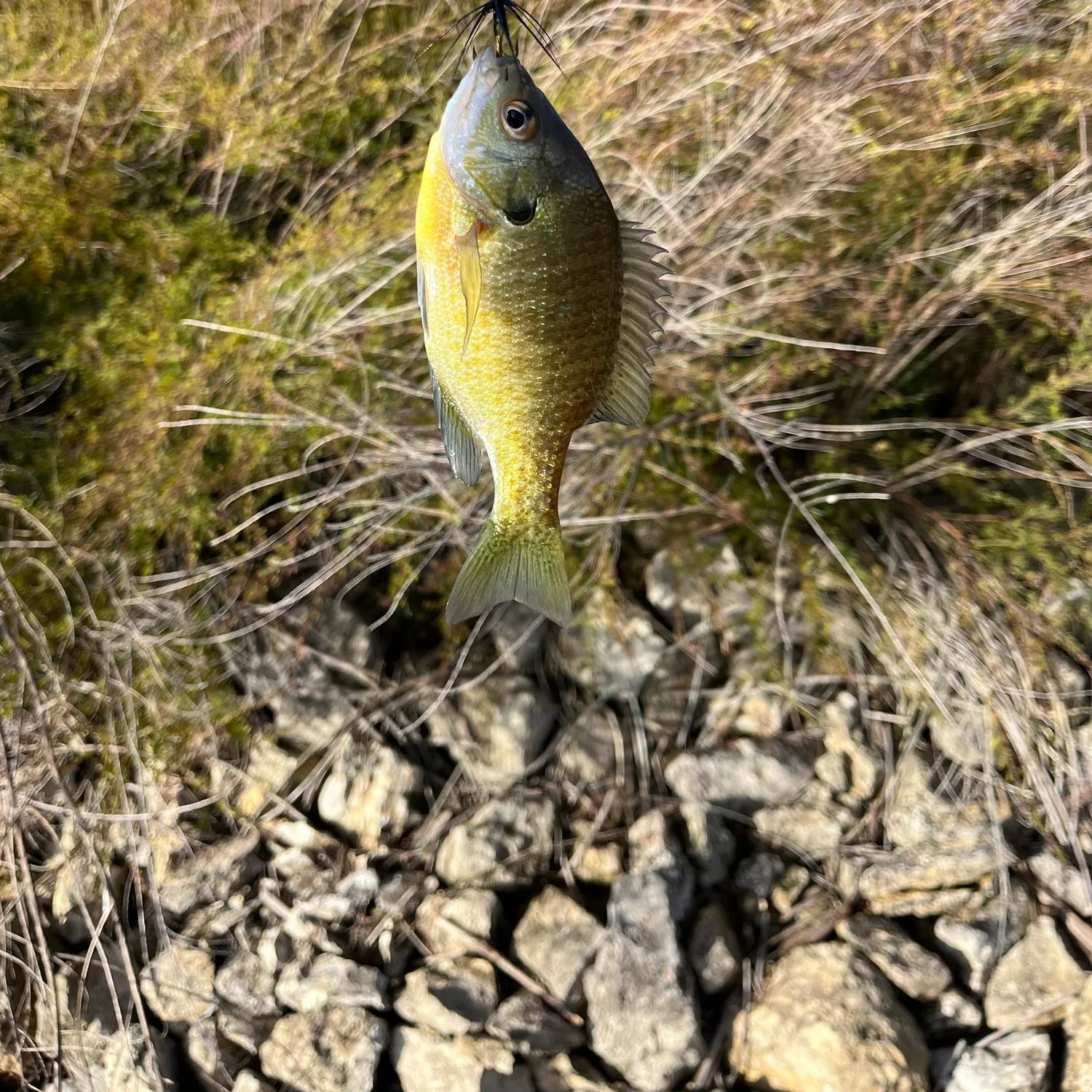
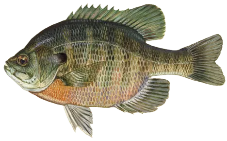
- Bluegill - 148 reported catches
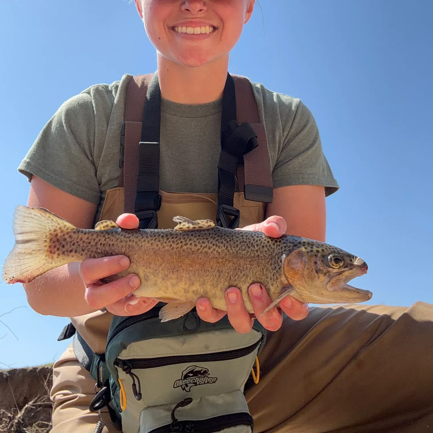
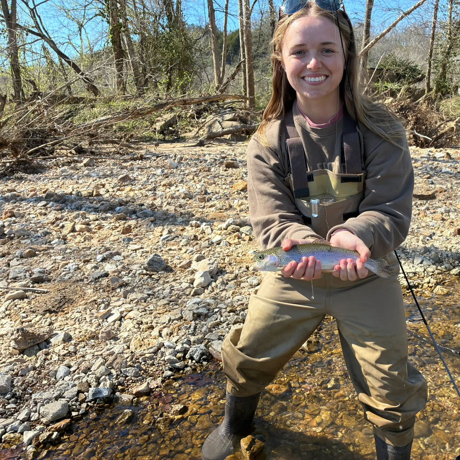
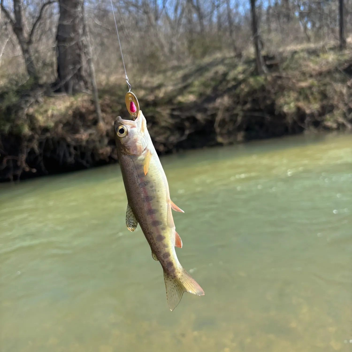
- @sjenn17 reported a nice Rainbow trout at Roubidoux Creek.
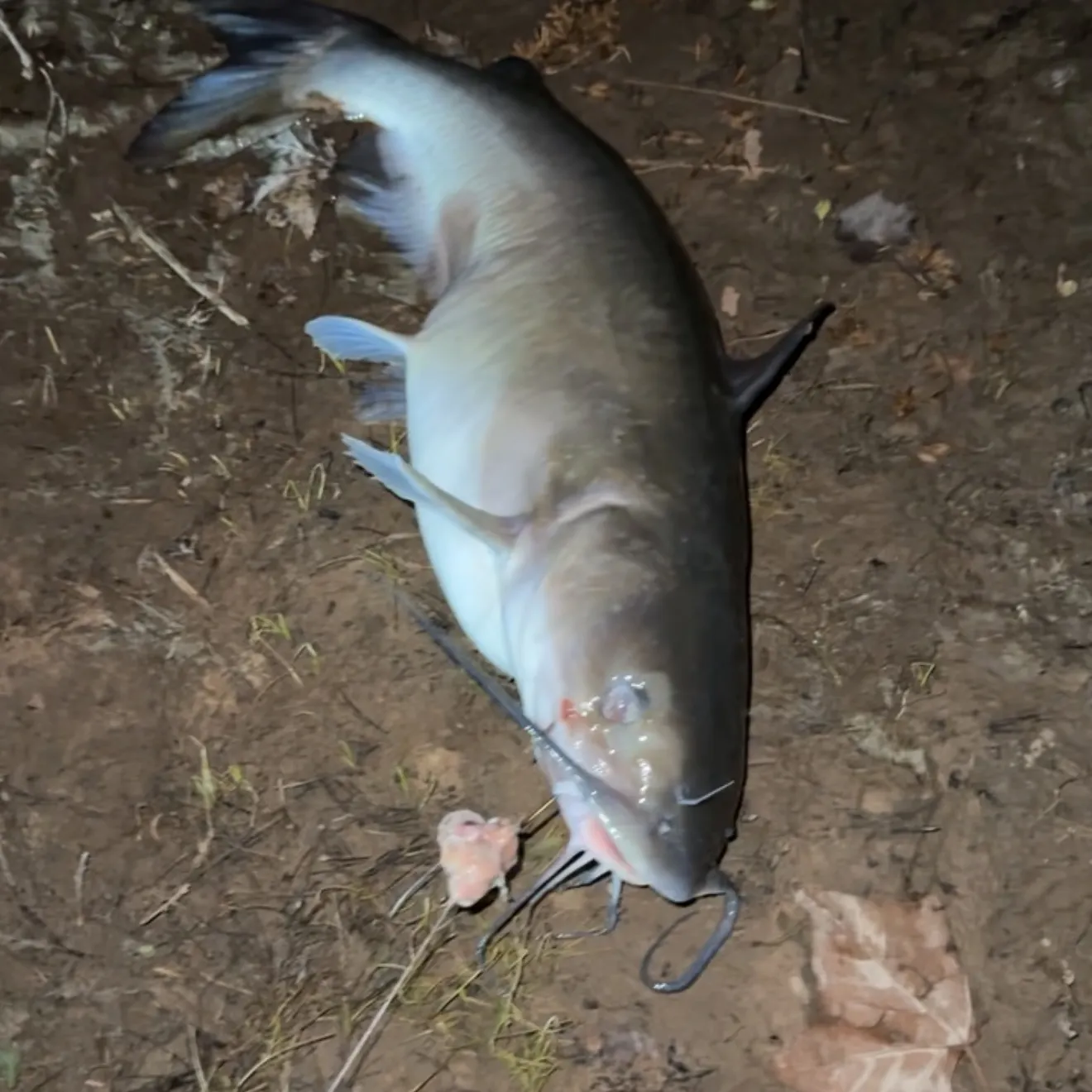
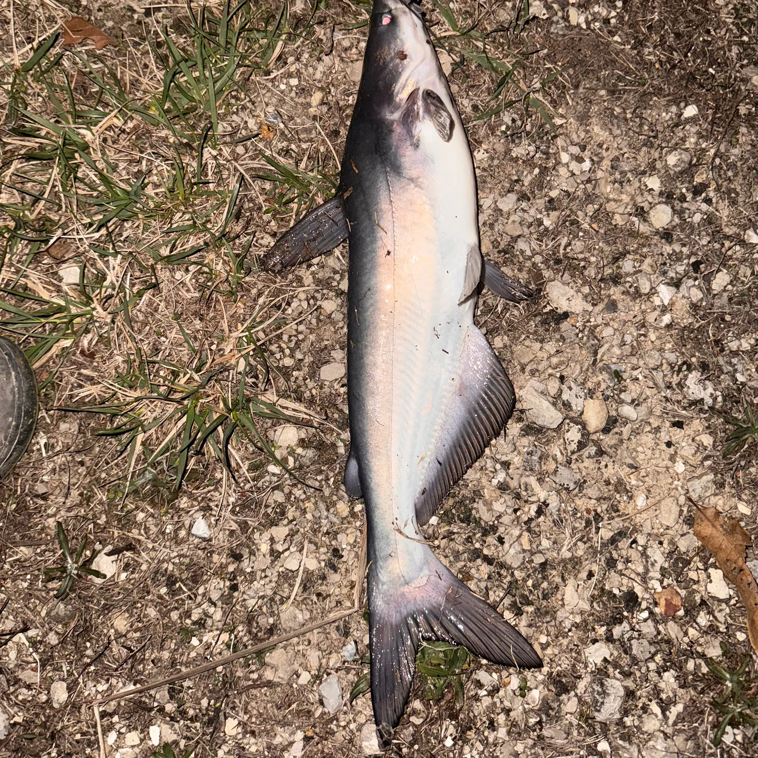
- @raymond.o.brien reported a nice Channel catfish at Little Prairie Lake.
- @raymond.o.brien reported a nice Channel catfish at Little Prairie Lake.
- @raymond.o.brien reported a nice Channel catfish at Little Prairie Lake.
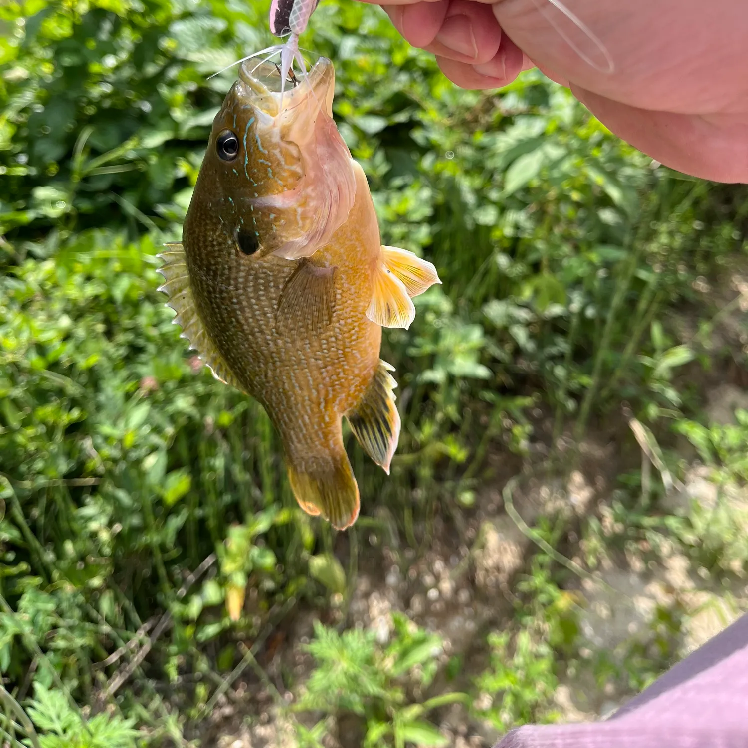
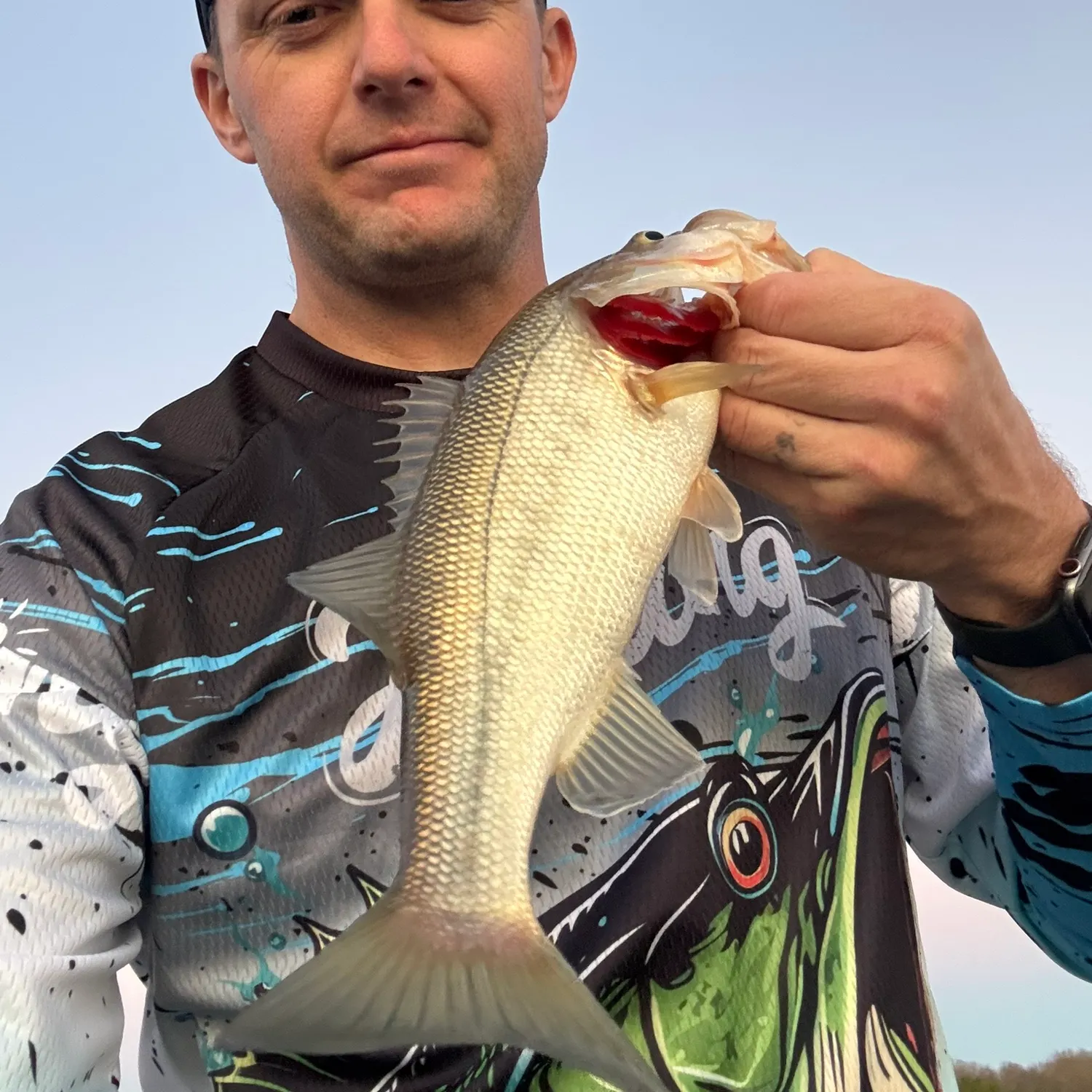
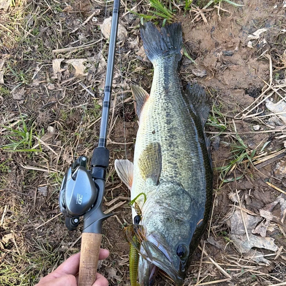
- @Skodee reported a nice Largemouth bass at Blues Pond.
- Plan smarter: Get hour-by-hour fishing weather conditions.
- Fish at peak times: Use BiteTime™ predictions to maximize catches.
- Stay ahead of the weather: Get hyper-local, real-time updates.
Other cities near Fort Leonard Wood
23.9 miles away
29.7 miles away
56.1 miles away
71.3 miles away
71.8 miles away
74.7 miles away
76.5 miles away
77.7 miles away
77.7 miles away
80.8 miles away
81.7 miles away
83.0 miles away
83.7 miles away
88.9 miles away
92.8 miles away
95.4 miles away
97.5 miles away
98.1 miles away
98.7 miles away
98.8 miles away
99.2 miles away
100.1 miles away
101.6 miles away
102.5 miles away